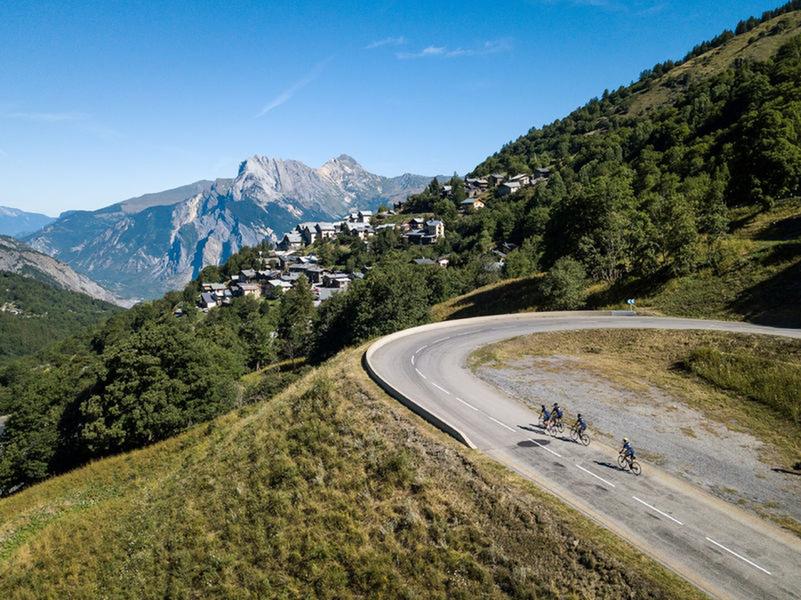
Valmeinier
There are some restaurants in Saint-Michel-de-Maurienne and Valmeinier, and you can drink water in Saint-Michel-de-Maurienne.
The nearest bike repair shop is located in Saint-Jean-de-Maurienne.
Itinerary
Distance :
29.7 km
Change in altitude :
1244 m
Change in altitude (uphill) :
1244 m
Marked itinerary :
Non disponible
Map references :
Savoie Mont Blanc cycling map available from the tourist office.
Further information
Publics :
Level black - very hard


