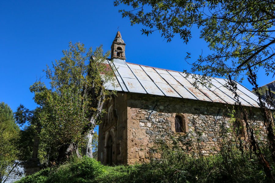
The Prés Plans valley
This beautiful trail, accessible to all, will take you on a discovery of a place steeped in history, with its old chalets and magnificent chapel built in the 17th century. A change of scenery guaranteed.
New for 2025: once you reach the hamlet of Les Deux Ponts, you can continue on your way towards the Boucle Chez l’ermite or the Tour des Charmettes.
Guidebook with maps/step-by-step
From the car park at the end of the tarmac road, take the wide dirt track that leads to the Croix de la Troche.
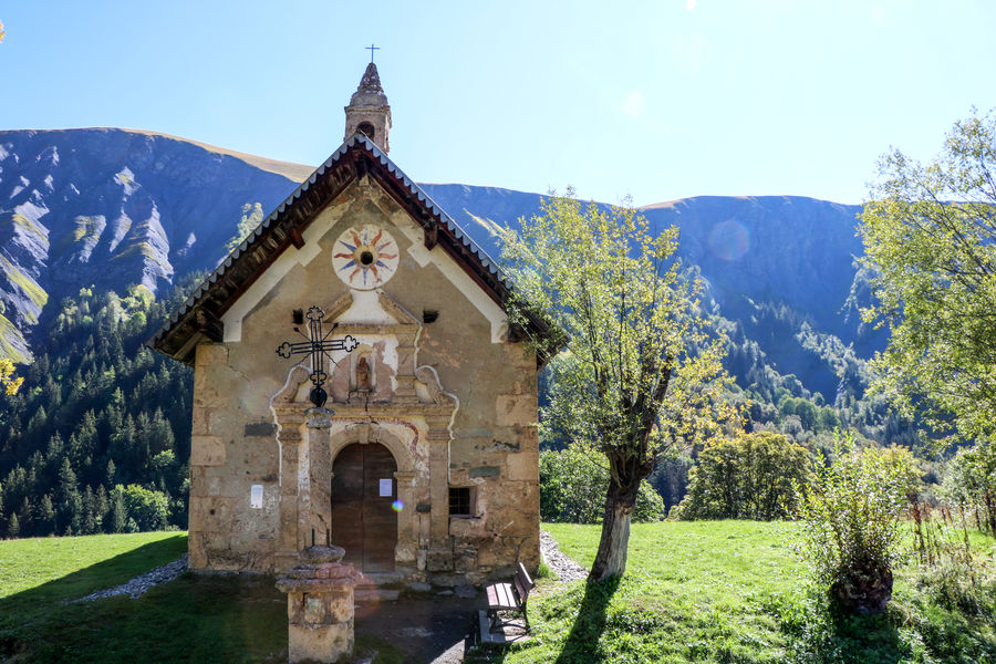
1 km after the cross, you'll come to the hamlet of Les Prés Plans, with its sumptuous 17th-century chapel of Notre Dame de la Vie.
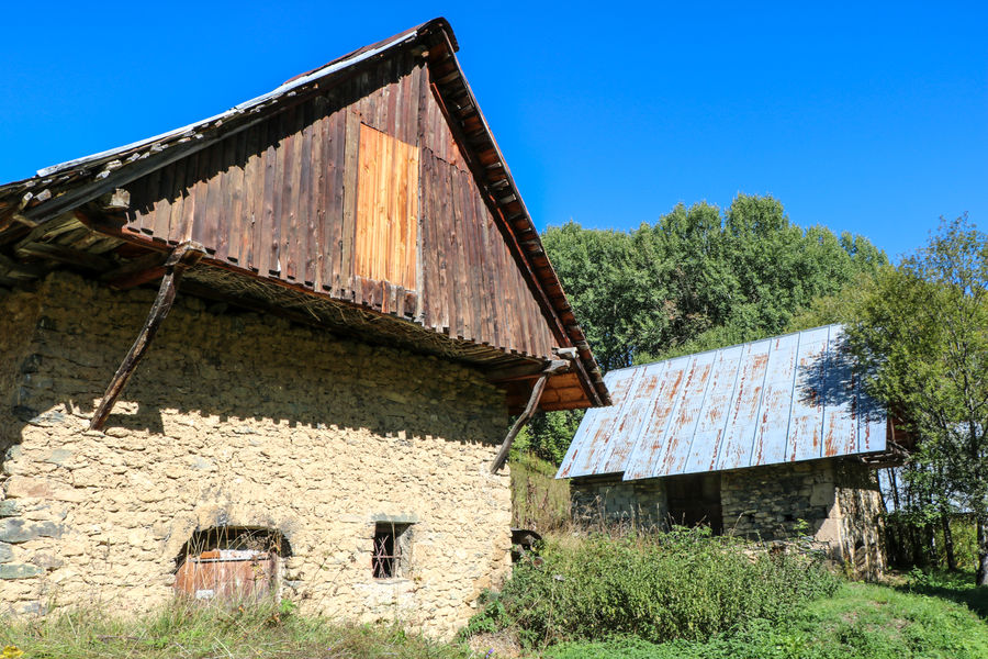
The valley widens after the hamlet to form a large green plateau dotted with old mountain chalets.
The road ends at the 2 bridges, where you'll find a signpost, and you can retrace your steps to return.
You can also set off from the Plan du Moulin car park, passing through Les Vachers to reach the Prés Plans path.
New for 2025: once you reach the hamlet of Les Deux Ponts, you can continue on your way towards the Boucle Chez l’ermite or the Tour des Charmettes.
Itinerary
Daily duration :
1h 30m
Distance :
5.4 km
Change in altitude :
83 m
Change in altitude (uphill) :
83 m
Change in altitude (downhill) :
83 m
Maximum altitude :
1640 m
Type of itinerary :
Aller-retour
Marked itinerary :
Balisé
Types of terrain :
Ground, Suitable for all terrain strollers
Benefits
Services
- Pets welcome
Further information
Pets allowed :
Yes
Publics :
Level green – easy, Walkers/hikers

