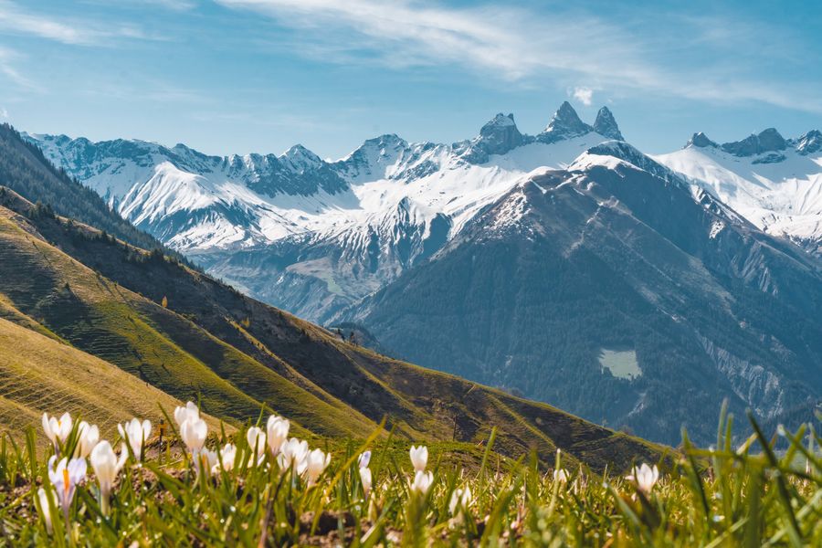
The Col d'Arves in summer
Departure around 10:30 to arrive at the Col d'Arves for the picnic.
Itinerary :
1 - This walk starts from the Tourist Office. Take the 4X4 track 150 m above the Tourist Office and turn left. At the crossroads, turn left towards "La Combe des Arvins". Look out for marmots a little further down the path! You will pass under the Mont Corbier chairlift and the Buddha ski restaurant, then continue along the path above the Vadrouilles ski lift.
2 - Take the left-hand bend in the farm track and you will come to the entrance to the Combe des Arvins. Take the path towards "Col d'Arves". The path winds through a wooded area and ends up in the mountain pastures.
3 - At the end of La Combe des Arvins, you will find the farm track. Turn left to reach the Col d'Arves.
4 - Go downhill towards "la Baye" or "Le Corbier - retour station". Follow the path to the fork in the road where the sylvotherapy workshop is located.
5 - Take a short break at the picnic table on the Col d'Arves before returning to the resort. Turn left and head back up via "le Cruet" and return to Le Corbier via the bottom of the resort.
This walk is also one of the "Randos de Max"! Booklet available from the Tourist Office.
Itinerary
Daily duration :
3h
Distance :
6.3 km
Change in altitude :
410 m
Change in altitude (uphill) :
410 m
Change in altitude (downhill) :
410 m
Maximum altitude :
1785 m
Type of itinerary :
Boucle
Marked itinerary :
Balisé
Details about signage :
Follow the yellow signs.
Tricky sections :
Beware: after a period of rain or thunderstorm, the path becomes muddy and slippery in places, so bring good hiking boots and poles.
Topographical guide references :
Itinerary available in the topo-guide sold at the Corbier Tourist Office.
Types of terrain :
Stone, Ground, Not suitable for strollers
Benefits
Services
- Pets welcome
Further information
Pets allowed :
Yes - Tenue en laisse uniquement.
Welcome complements :
Adaptez votre équipement à votre niveau et aux conditions météo.
Spoken languages :
![]()
Publics :
Level red – hard, Walkers/hikers
Adapted tourism :
Not accessible in a wheelchair


