Route No. 25 - Fontcouverte - La Toussuire

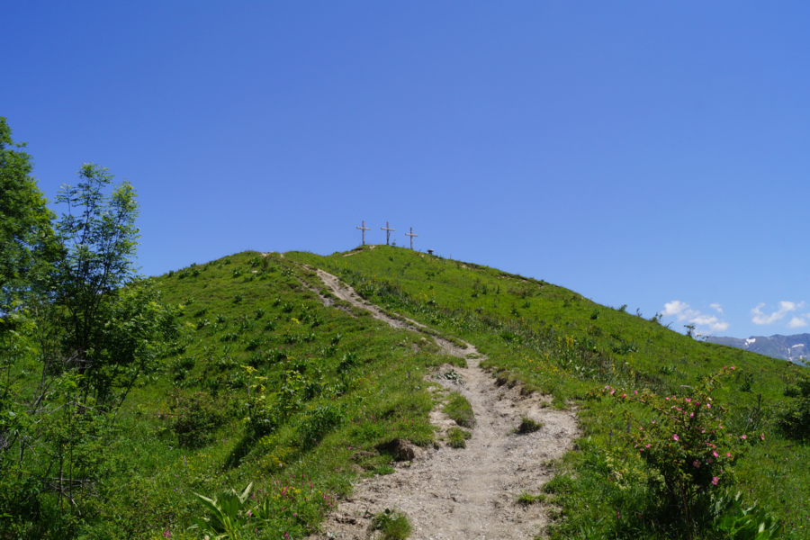
Summit of the 3 crosses Alban Pernet

Route N°25 Alban Pernet
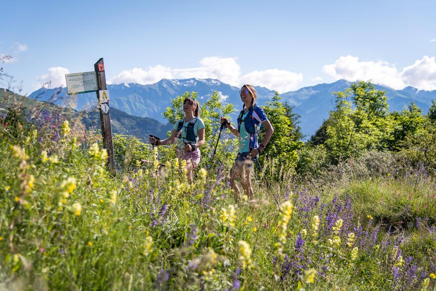
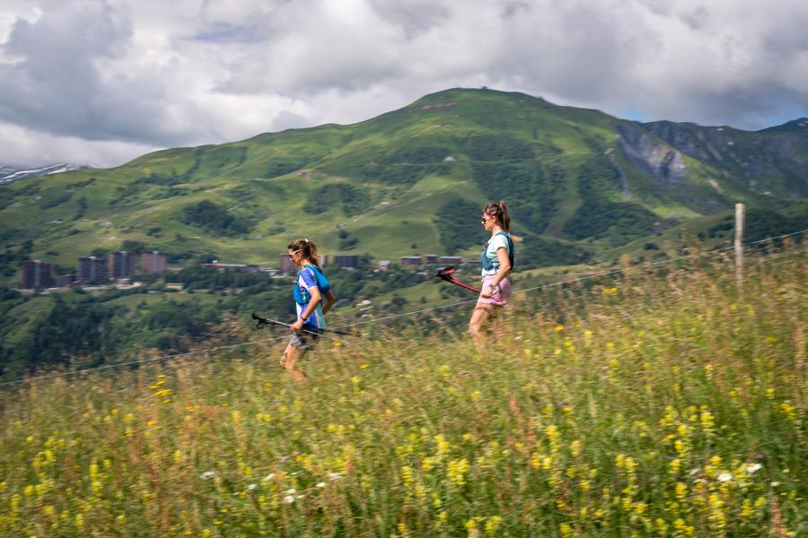
Combine an escape on the ridges of Ouillon au Grand Truc with a tour of the hamlets in the valley. You'll have a complete overview of Fontcouverte - La Toussuire!
A demanding itinerary that takes in all the trail routes in La Toussuire!
Itinerary
Distance :
34.2 km
Change in altitude :
2150 m
Change in altitude (uphill) :
2150 m
Change in altitude (downhill) :
2150 m
Maximum altitude :
2428 m
Type of itinerary :
Boucle
Marked itinerary :
Balisé
Details about signage :
The trail is signposted with dibond trail boards to indicate the direction and the routes with stickers.
Types of terrain :
Ground
Further information
Spoken languages :
![]()
Publics :
Level black - very hard, For experts / practiced
Opening hours
From 06/06 to 15/10.
Prices
Free of charge.
Information updated on 27/09/2024 by Office de Tourisme de La Toussuire