Route No. 24 - Boucle des Hameaux

Route 24 One way Alban Pernet

Route 24 Back Alban Pernet
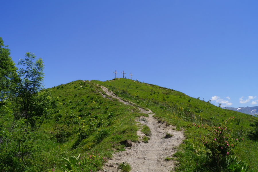
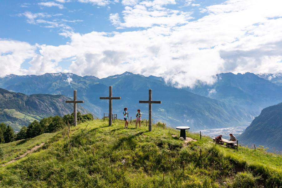
This trail takes you through the hamlets of Fontcouverte - La Toussuire. On the programme are 11 pretty hamlets to discover, with a visit to Les Bottières.
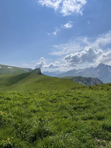
After an initial climb to La Rochette as a warm-up, there is a succession of magnificent narrow paths that never become technical. You'll be able to keep up the pace on this downhill profile punctuated by short climbs. You'll have plenty of fun on this shady route, before tackling the final 400m climb that awaits you for the last 3 kilometres.
A shady route to discover the region's treasures, and all without a patou!
A shady route to discover the region's treasures, and all without a patou!
Itinerary
Distance :
13.5 km
Change in altitude :
780 m
Change in altitude (uphill) :
780 m
Change in altitude (downhill) :
780 m
Maximum altitude :
1433 m
Type of itinerary :
Boucle
Marked itinerary :
Balisé
Details about signage :
The trail is signposted with dibond trail boards to indicate the direction and the routes with stickers.
Types of terrain :
Ground
Further information
Spoken languages :
![]()
Publics :
Level bue - Medium, For athletes
Opening hours
From 10/05 to 15/10.
Prices
Free of charge.
Information updated on 27/09/2024 by Office de Tourisme de La Toussuire