Route N°23 - Boucle de l'Ouillon

Trail Boucle N°23 - Rouge Office de Tourisme de la Toussuire

Trail Boucle N°23 - Rouge Office de Tourisme de la Toussuire
Trail Track n ° 23 - Red Level
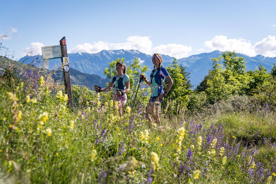
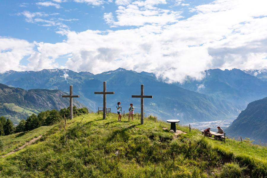
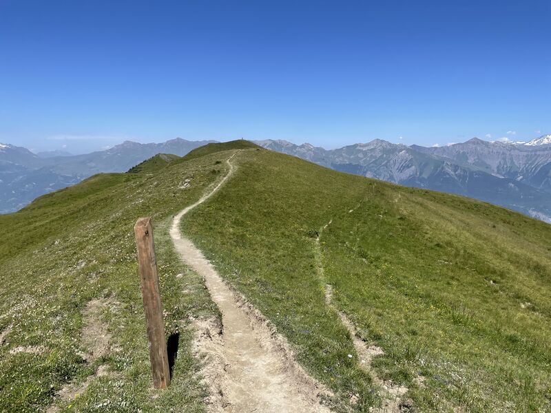
Departing from La Toussuire, discover the main peaks overlooking the resort, thanks to this route that gives pride of place to the ridges. A very complete itinerary, offering a very alpine first part before discovering the charm of the hamlets on the second part.
Itinerary
Daily duration :
6h 30m
Distance :
23.5 km
Change in altitude :
1510 m
Change in altitude (uphill) :
1510 m
Change in altitude (downhill) :
1510 m
Average altitude :
1862 m
Maximum altitude :
2428 m
Type of itinerary :
Boucle
Marked itinerary :
Balisé
Details about signage :
The track N ° 23 is marked with trail blades indicating the direction of direction as well as the number of the track.
Types of terrain :
Ground
Benefits
Services
- Pets welcome
Further information
Pets allowed :
Yes
Spoken languages :
![]()
Publics :
Level red – hard, For experts / practiced, For athletes
Opening hours
From 01/06 to 30/09/2021.
Prices
Free access.
Information updated on 27/09/2024 by Office de Tourisme de La Toussuire