Route N ° 21 - Champ l'Eriscal / Trois Croix

Boucle Trail N°21 Office de Tourisme de la Toussuire

Boucle Trail N°21 Office de Tourisme de la Toussuire

Boucle Trail N°21 Office de Tourisme de la Toussuire
Trail track n ° 21 - Green Level
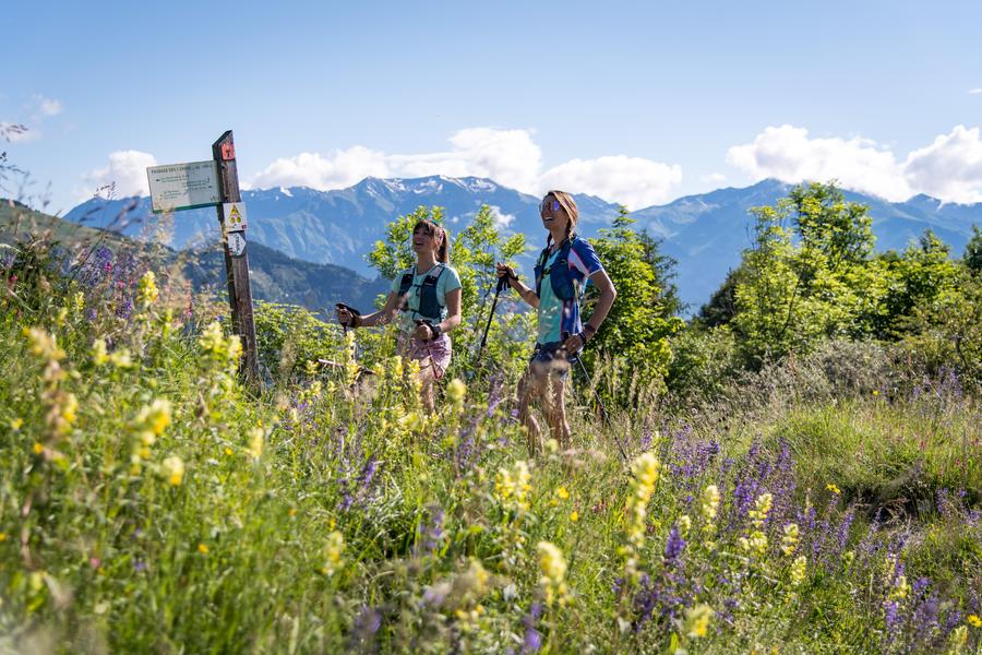
Departing from La Toussuire resort, this route is ideal for an easy level outing while discovering both the resort and the hamlet of La Rochette.
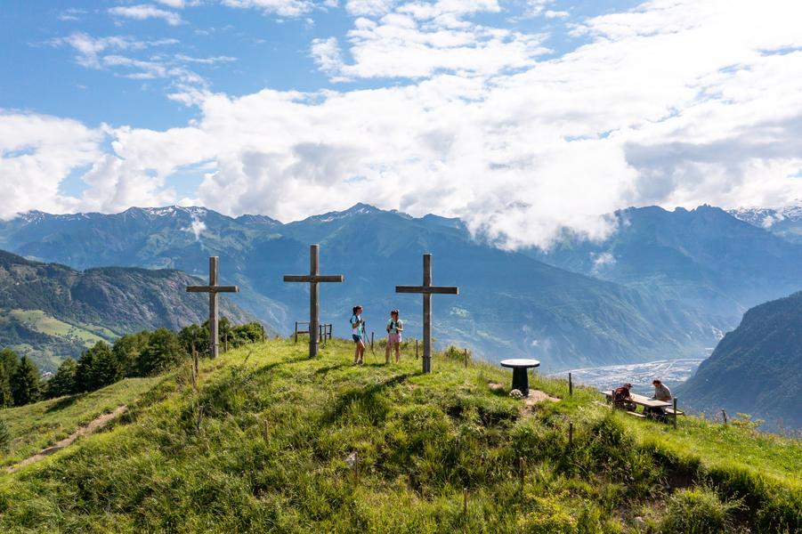
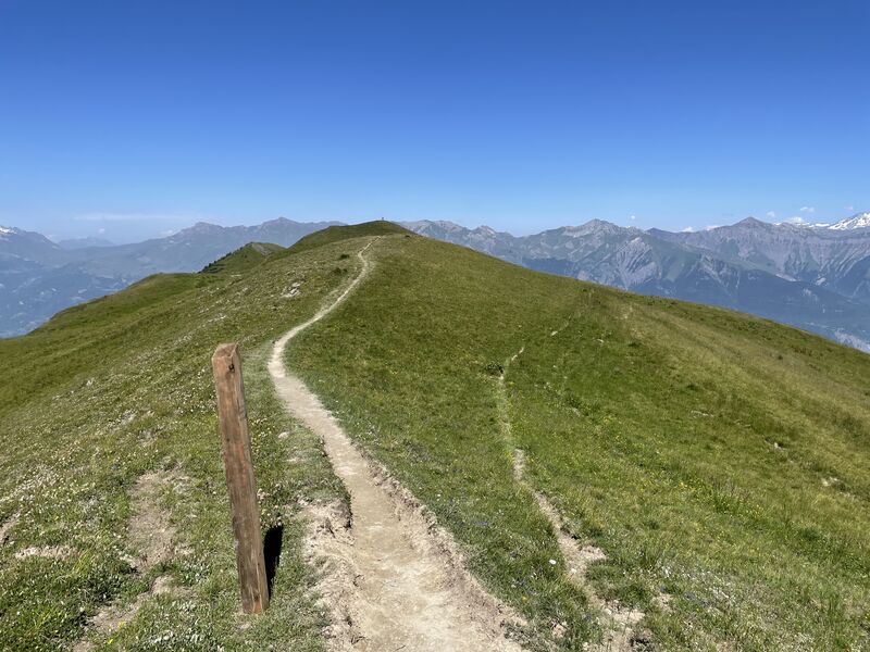
You will first evolve on a wide track offering beautiful views of La Toussuire and the surrounding peaks. You will then go up to Trois Croix to discover a magnificent 360 ° parorama before going down to La Rochette then up to the resort.
You will first evolve on a wide track offering beautiful views of La Toussuire and the surrounding peaks. You will then go up to Trois Croix to discover a magnificent 360 ° parorama before going down to La Rochette then up to the resort.
Itinerary
Daily duration :
2h
Distance :
9.7 km
Change in altitude :
480 m
Change in altitude (uphill) :
480 m
Change in altitude (downhill) :
480 m
Average altitude :
1620 m
Maximum altitude :
1803 m
Type of itinerary :
Boucle
Marked itinerary :
Balisé
Details about signage :
The track N ° 21 is marked with trail blades indicating the direction of direction as well as the number of the track.
Types of terrain :
Ground, Not suitable for strollers
Benefits
Services
- Pets welcome
Further information
Pets allowed :
Yes
Spoken languages :
![]()
Publics :
Level green – easy, For beginners / novice
Opening hours
From 01/06 to 30/09.
Prices
Free access.
Information updated on 27/09/2024 by Office de Tourisme de La Toussuire