Route N ° 20 - Champ l'Eriscal

Route N20 Alban Pernet
Trail track n ° 20 - Green Level
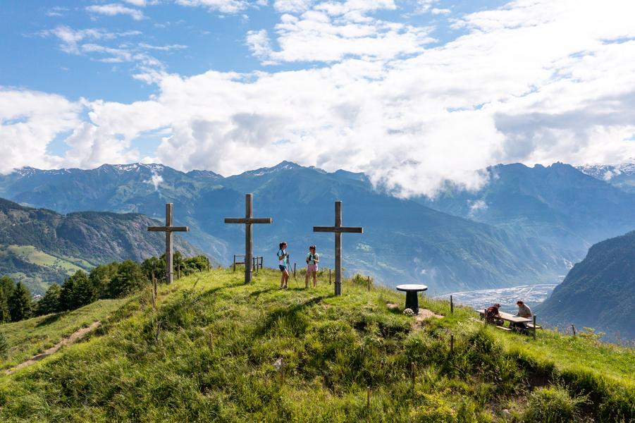
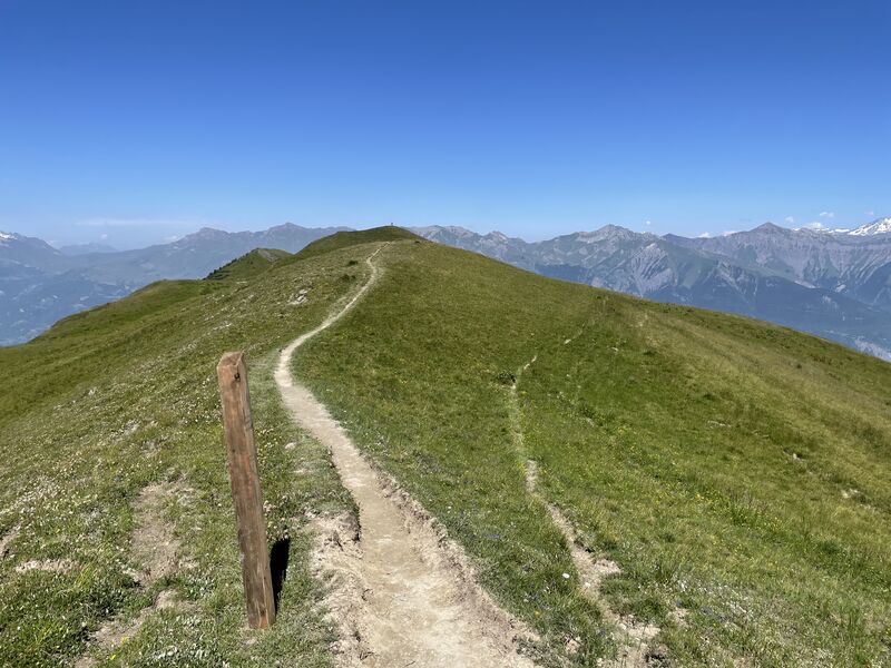
Departing from the Tourist Office, this loop without technical difficulty will allow you to take a short trail outing while discovering the charms of the resort. You will first evolve on a wide track offering beautiful views of La Toussuire and the surrounding peaks. You will come back to the resort by a path in the undergrowth and along a stream, offering appreciable freshness on beautiful summer days !
Itinerary
Daily duration :
45m
Distance :
5.1 km
Change in altitude :
190 m
Change in altitude (uphill) :
190 m
Change in altitude (downhill) :
190 m
Average altitude :
1719 m
Maximum altitude :
1803 m
Type of itinerary :
Boucle
Marked itinerary :
Balisé
Details about signage :
The track N ° 20 is marked with trail blades indicating the direction of direction as well as the number of the track.
Types of terrain :
Ground, Not suitable for strollers
Benefits
Services
- Pets welcome
Further information
Pets allowed :
Yes
Spoken languages :
![]()
Publics :
Level green – easy, For beginners / novice
Opening hours
From 01/06 to 30/09.
Prices
Free access.
Information updated on 27/09/2024 by Office de Tourisme de La Toussuire