Parcours spatial
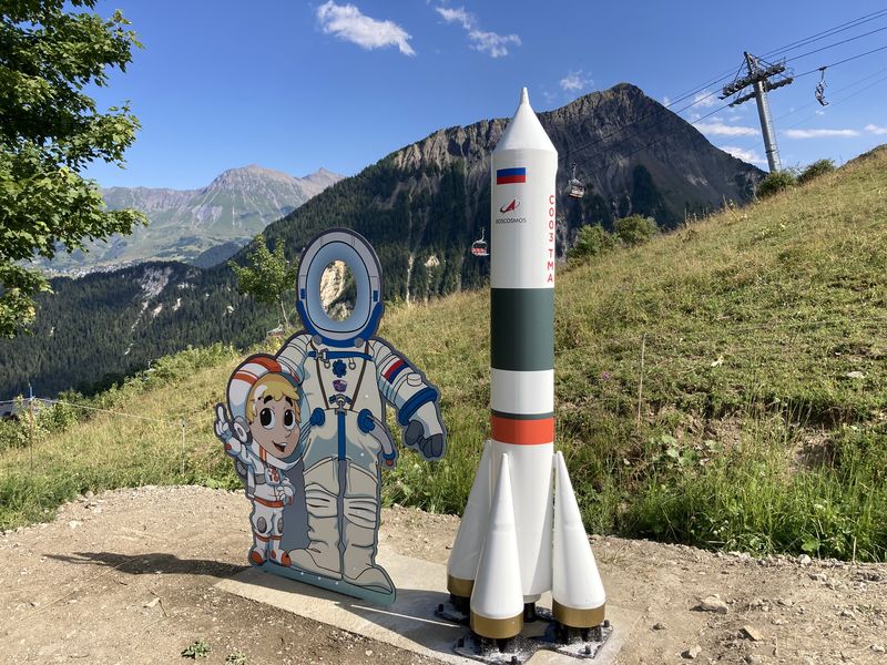
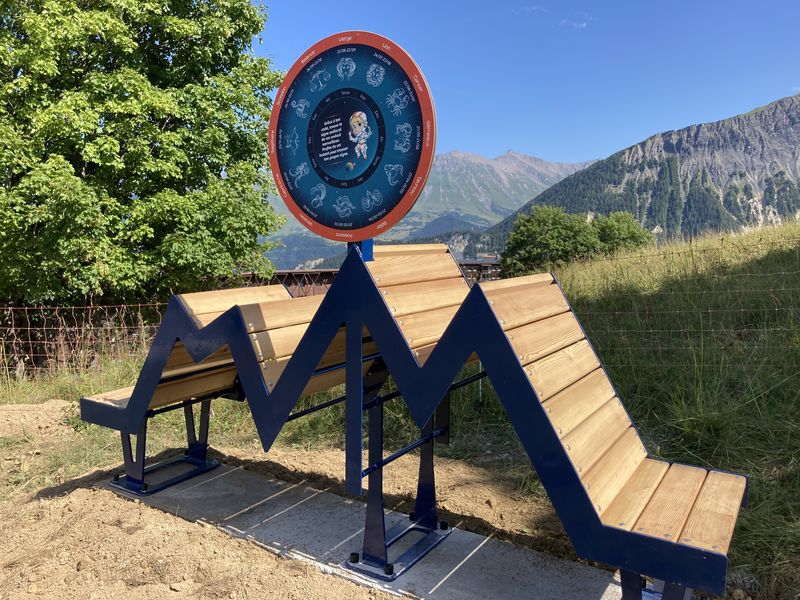
And who is that strange little man dressed as a cosmonaut, welcoming you with a broad smile?
What journey is he trying to take you on? Yes, it's all about the conquest of space! But that's not all... Cosmix will take you on a real adventure with your head in the stars.
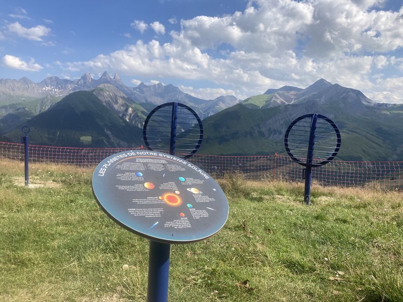
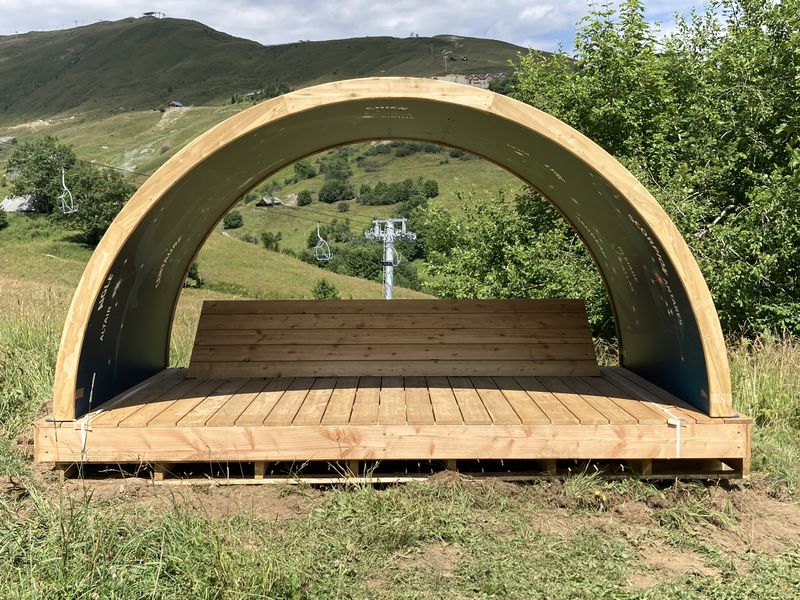
Join us (without fear of heights) on this fun trail to discover modules, each more astonishing than the last, that will have you looking up at the sky, stretching out under the celestial vault or taking a space-time leap.
To discover the secrets of the Corbier station and its origins, you'll need to decipher the coded messages Cosmix has left for you.
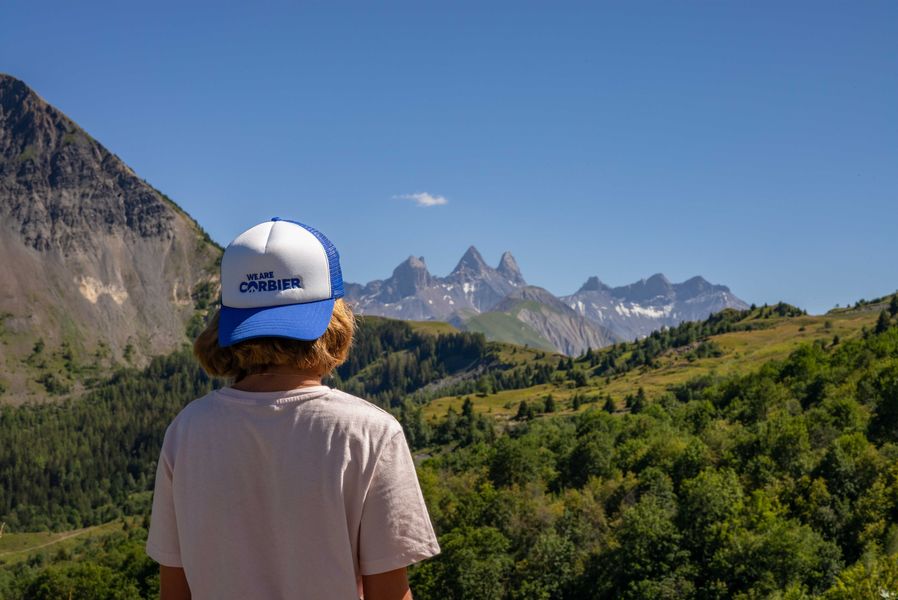
The solution to the riddle is just around the corner! If you succeed, a heavenly reward awaits you. But you can already enjoy the view of the Aiguilles d'Arves, which is also a wonderful gift from nature!
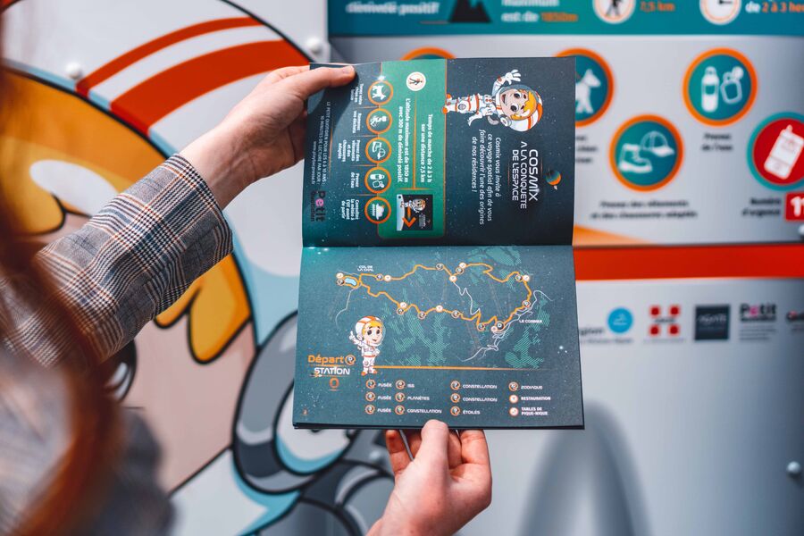
Guidebook with maps/step-by-step
Departure point: Le Corbier Tourist Office. The game trail is particularly suitable for families with children aged 6-12.
1/ For this themed trail, follow the Cosmix markers at each junction.
From the Tourist Office, take the 4x4 track opposite towards the Col de la Chal/Col d'Arves as far as the Combe des Arvins crossroads. At this junction, continue along the track towards Col de la Chal as far as the reservoir.
2/ At the Col de la Chal signpost, follow the signs for Le Corbier and Mont Corbier and continue on the 4x4 track up to the Potets signpost, which then passes under the Vadrouille chairlift. Continue along this track as far as the high-altitude restaurant and turn left to pass under the voie lactée chairlift and then under the Sybelles Express and the Ourson arrival station.
3/ At the next crossroads, take the path on the left that descends through undergrowth and meadows to the first residences in Le Corbier. Walk alongside the residences to return to the snow front and the Tourist Office.
Itinerary
Daily duration :
2h
Distance :
3.5 km
Change in altitude :
135 m
Change in altitude (uphill) :
135 m
Maximum altitude :
1550 m
Type of itinerary :
Boucle
Marked itinerary :
Balisé
Details about signage :
Cosmix signs will show you the way.
Types of terrain :
Ground
Benefits
Services
- Pets welcome
Further information
Pets allowed :
Yes
Welcome complements :
Prendre l'autoroute de la vallée de la Maurienne.
Prendre la sortie n°27 et suivre la direction de Saint Jean de Maurienne puis Vallée de l'Arvan et Villarembert - Le Corbier.
Monter jusqu'à la station du Corbier
Publics :
Level green – easy, Walkers/hikers


