Les Forts de l'Esseillon
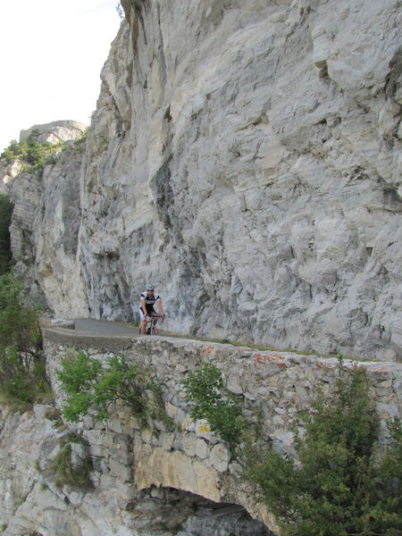
The road on this route is moderately busy, and in generally good to fair condition in places. You can only use it in the upward direction (Modane-Le Bourget-Aussois) and return via Aussois to Modane or Le Bourget.)
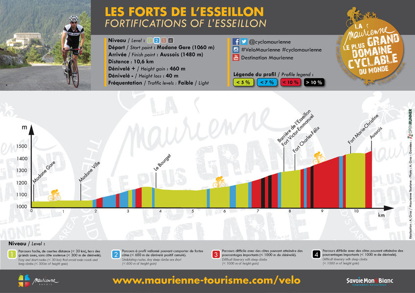
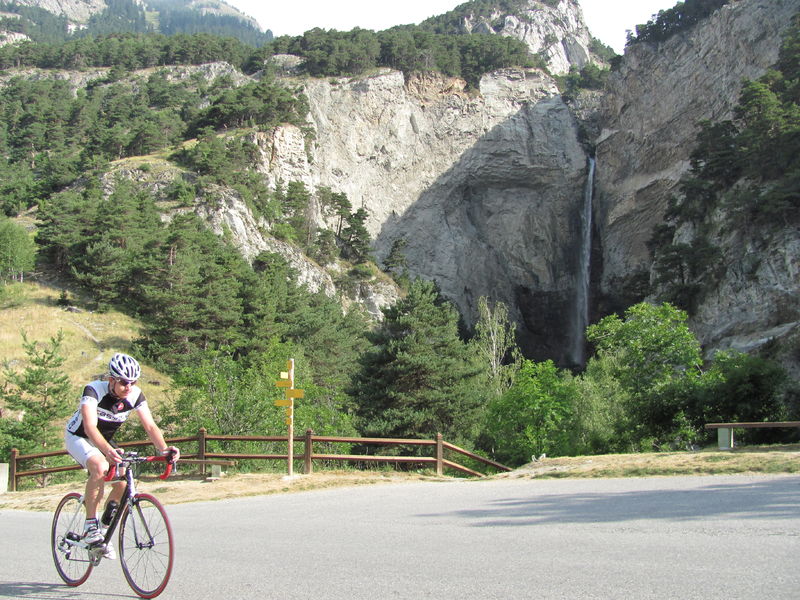
There are several drinking water points (at Cascade Saint Benoît, near Fort Victor Emmanuel and three others in the village of Aussois), two refreshment points (Modane and at the finish) and two repair points (Modane and Aussois).
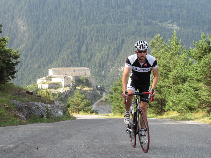
The route boasts an interesting natural heritage, including the Rocher des Amoureux and the Cascade Saint Benoît. It also boasts an important cultural heritage, including the Modane Museobar, the Esseillon forts and the village center of Aussois.
Itinerary
Distance :
10.6 km
Change in altitude :
460 m
Change in altitude (uphill) :
460 m
Change in altitude (downhill) :
40 m
Maximum altitude :
1480 m
Type of itinerary :
Aller-retour
Marked itinerary :
Non disponible
Map references :
Carte "Vélo de Route" de "La Maurienne, le plus grand domaine cyclable du monde" éditée par Maurienne Tourisme et disponible dans tous les Offices de Tourisme de Maurienne (sous réserve des stocks disponibles).
Further information
Spoken languages :
![]()
![]()
Publics :
Level bue - Medium


