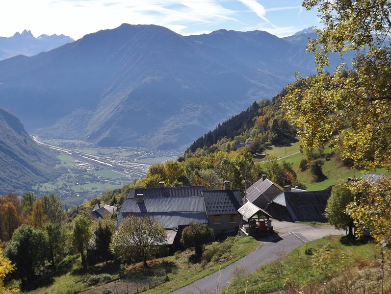
Le Mollaret via Montgellafrey
Itinerary
Distance :
27.8 km
Change in altitude :
948 m
Change in altitude (uphill) :
948 m
Marked itinerary :
Non disponible
Map references :
Carte vélo Savoie Mont Blanc disponible à l'office de tourisme.
Further information
Publics :
Level black - very hard


