Le Grand Châtelard
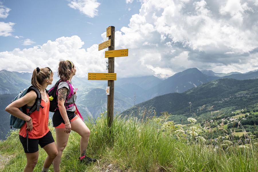
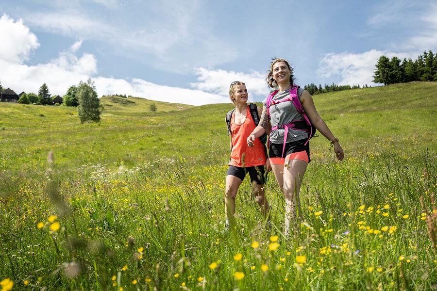
This hike is ideal for nature lovers, offering a perfect balance between effort and visual reward, and promises an unforgettable moment with family or friends.
Guidebook with maps/step-by-step
Departure: Maison Forestière de l'Oullaz.
1/ Head for Le Grand Châtelard on the forest track.
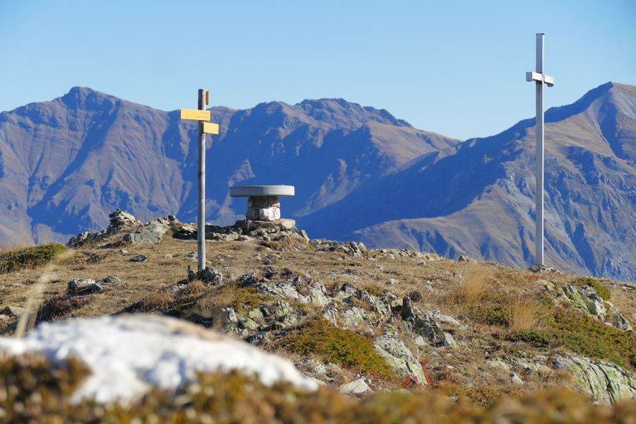
2/ Continue until you reach Sur La Balme. The path then winds through the mountain pastures to reach the summit of Grand Châtelard at 2143 m.
3/ Return to the Maison Forestière de l'Oullaz by the same route.
Itinerary
Daily duration :
4h
Distance :
8.9 km
Change in altitude :
600 m
Change in altitude (uphill) :
600 m
Change in altitude (downhill) :
600 m
Maximum altitude :
2120 m
Type of itinerary :
Aller-retour
Marked itinerary :
Balisé
Topographical guide references :
Topoguide Pays des Aiguilles d'Arves available for €5 at Explore Maurienne tourist offices during our opening hours.
Map references :
TOP 25 IGN 3433 and 3335
Benefits
Services
- Pets welcome
Further information
Pets allowed :
Yes - Pets allowed on leash only.
Publics :
Level red – hard


