La Rochette and Les Trois Croix
Guidebook with maps/step-by-step
Start: from the Fontcouverte church parking lot, drive 400m up the RD78.
1/ Follow the signs for "La Toussuire - La Rochette - Les 3 croix". After the hairpin bend, take a path towards Les Villards.
2/ After a few meters, join the road and turn right towards the village of Les Villards and L'Alpettaz.
3/ After passing through the village of l'Alpettaz, cross the RD78 and turn left for a few dozen metres. Then take the path on the right towards La Rochette - Les 3 Croix.
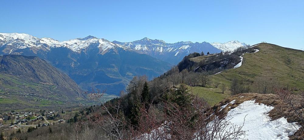
4/ After a short climb, pass the reservoir: you'll arrive on a beautiful balcony path. At the next intersection, head for Les 3 Croix, then descend towards La Rochette over a small ridge.
5/ Cross the RD78 and go up a few dozen metres. Then descend towards La Rochette - Les Anselmes - Fontcouverte.
Itinerary
Daily duration :
2h
Distance :
6 km
Change in altitude :
380 m
Change in altitude (uphill) :
380 m
Change in altitude (downhill) :
380 m
Maximum altitude :
1532 m
Type of itinerary :
Boucle
Marked itinerary :
Balisé
Topographical guide references :
Topoguide Pays des Aiguilles d'Arves available for €5 at Explore Maurienne tourist offices during our opening hours.
Map references :
TOP 25 IGN 3433 and 3335
Benefits
Services
- Pets welcome
Further information
Pets allowed :
Yes - Pets allowed on leash only.
Publics :
Level bue - Medium


