La Grande Verdette path
Distance and duration: 2.8 km - 1h
Difference in height: -414 m
At the top of the chairlift, go donw in direction of La Toussuire, through "Haut Ravières" and "Les Ravières" (bottom of the slopes)
All the way down is a large path.
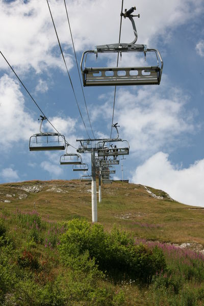
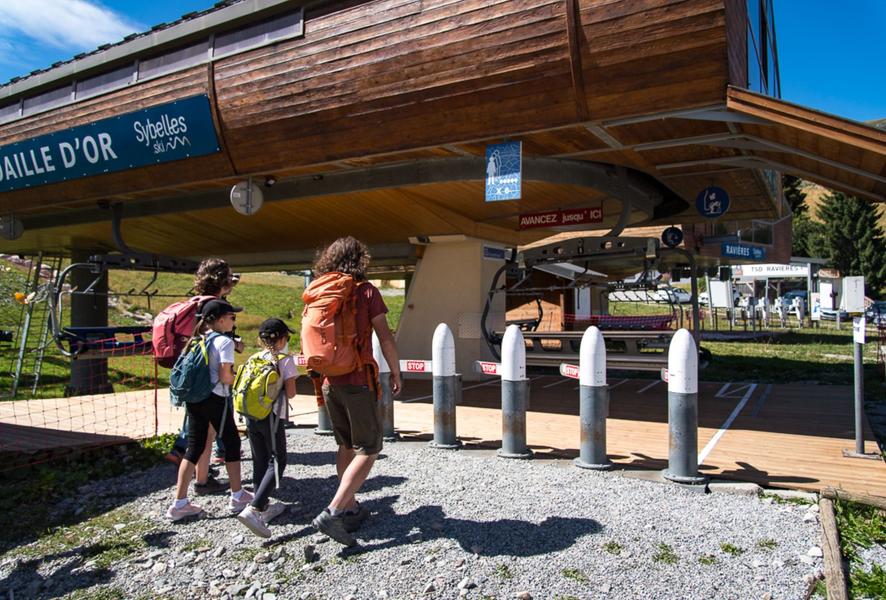
Chairlift is open on Monday, Wednesday and Thursday. Tickets to buy at the chairlift office.
Outside the opening days, you can go up walking!
Itinerary
Daily duration :
1h
Distance :
2.8 km
Change in altitude :
414 m
Change in altitude (uphill) :
0 m
Change in altitude (downhill) :
-414 m
Maximum altitude :
2114 m
Type of itinerary :
Aller-retour
Marked itinerary :
Balisé
Details about signage :
Yelloow signs with direction and walking time
Topographical guide references :
Buy our 30 walks guide at La Toussuire Tourist Office (€5).
Area: Villarembert, Le Corbier, Fontcouverte, La Toussuire, Saint Pancrace, Les Bottières, Jarrier
Types of terrain :
Not suitable for strollers
Benefits
Services
- Accessible via ski lift
Further information
Spoken languages :
![]()
![]()
Publics :
Walkers/hikers, Level bue - Medium
Adapted tourism :
Not accessible in a wheelchair


