La Forestière walk
Distance and duration: 7 km - 3h40
Difference in height: 459 m
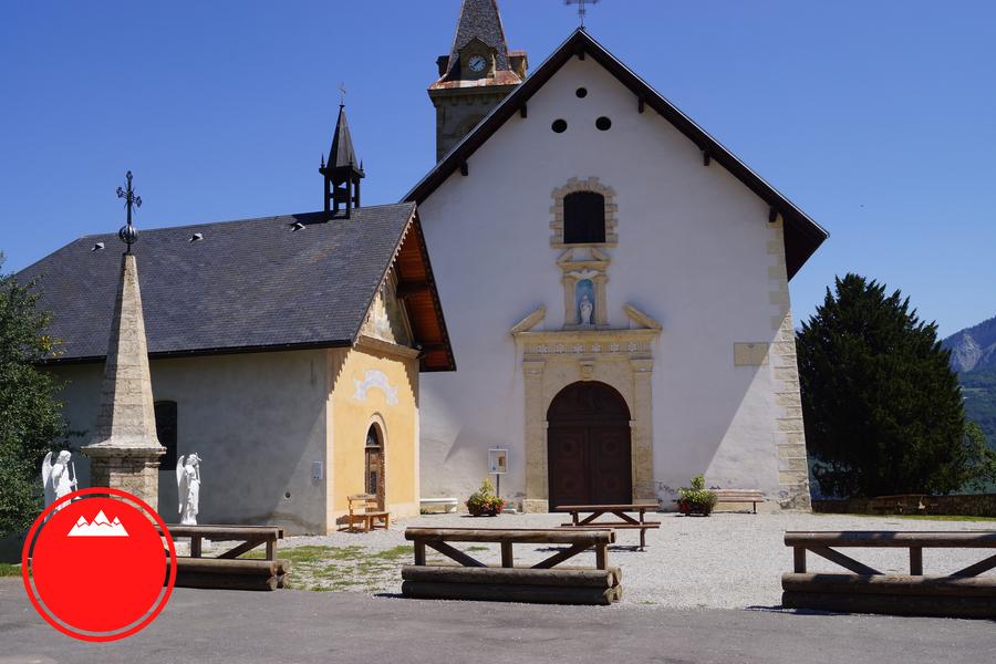
From the parking of the church, go up (100 m) on the road to reach the centre of the village (the fountain): there is the deparure of "La Forestière" path.
We advise you to go in an anti-clockwise direction.
Go up in the village in direction of "Pont de Rafour".
At the first hairpin bend, turn left, go along a large, then narrow path.
Cross 2 torrents and go down in direction of "Pont de Rafour" (first delicate path).
Then reach a larger path to go to "Pont de la Scie", and then to "Charvin" forest path.
Follow the direction of "Crêt de la Servitude".
Hike in the heart of Charvin forest. At the "Crêt de la Servitude", go down in direction of "Pont de Merderel"
Arrival on the bridge on the orad RD926.
Corss the bridge and follow the road (on 100 m). Turn left and go up in direction of Fontcouverte.
Go up during 400 m with another delicate path.
Arrival in "Les Lamberts" before going back to Fontcouverte.
History, culture and heritage
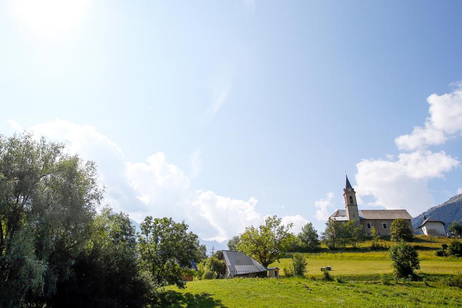
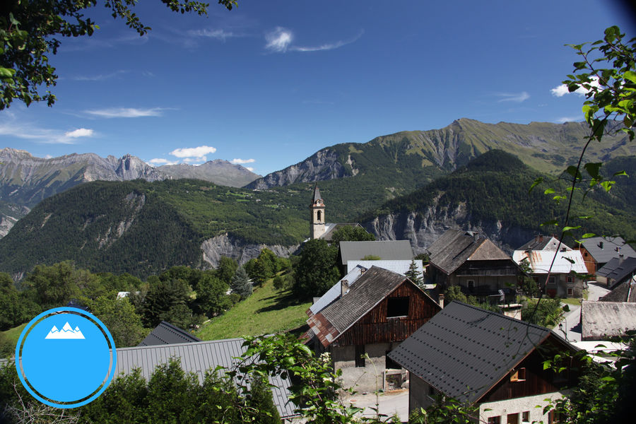
Most part of this walk is in the forest. Discover the different vegetations depending on the slopes: the first part is a south-facing slope, ground is dryer, vegetation is sparse with lobed-leaved trees.
From "Pont de la Scie" to "Pont de Merderel", you are on a north-facing slope, with a wet ground, a dense vegetation and resinous trees: fir trees and spruces.
Itinerary
Daily duration :
3h 40m
Distance :
7 km
Change in altitude :
459 m
Change in altitude (uphill) :
459 m
Maximum altitude :
1199 m
Type of itinerary :
Boucle
Marked itinerary :
Balisé
Details about signage :
Yelloow signs with direction and walking time
Topographical guide references :
Buy our 30 walks guide at La Toussuire Tourist Office (€5).
Area: Villarembert, Le Corbier, Fontcouverte, La Toussuire, Saint Pancrace, Les Bottières, Jarrier
Types of terrain :
Not suitable for strollers
Benefits
Services
- Pets welcome
Further information
Pets allowed :
Yes - On your way, you may see cows or sheeps pens. Please, be careful of guarding dogs
Spoken languages :
![]()
![]()
Publics :
Walkers/hikers
Adapted tourism :
Not accessible in a wheelchair


