Itinéraire Cyclo : La Mauriennaise
Along the way, you'll be thrilled to see the start of world-famous climbs over legendary passes such as the Galibier, Télégraphe, Croix de Fer, Glandon, Madeleine and Grand Cucheron.
Tips
This route can be taken in either direction
Itinerary
Daily duration :
4h
Distance :
61.3 km
Change in altitude :
785 m
Change in altitude (uphill) :
785 m
Change in altitude (downhill) :
367 m
Maximum altitude :
710 m
Type of itinerary :
Aller-retour
Marked itinerary :
Balisé
Details about signage :
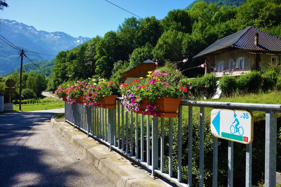
Itinerary marked "La Mauriennaise" with n°35
Map references :
Vélo de Route" map of "La Maurienne, the world's largest cycling area" published by Maurienne Tourisme and available from all Maurienne Tourist Offices (subject to availability).
Benefits
Services
- Pets welcome
Further information
Pets allowed :
Yes - Le transport ou la promenade des animaux sur les voiries doivent respecter le code de la route et l'obligation de maintien en laisse.
Publics :
Level red – hard


