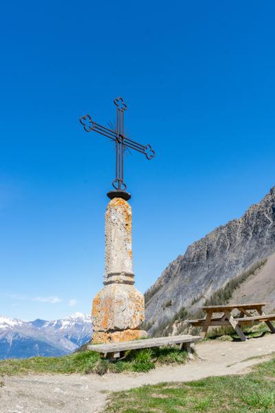
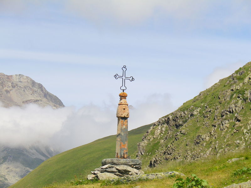
Hiking to the Col d'Arves
For more information : See the tourist office of Saint Jean d'Arves.
Hike detailed in the topo-guide on sale at the tourism office (5€).
Itinerary
Daily duration :
1h 30m
Distance :
3.4 km
Change in altitude :
200 m
Change in altitude (uphill) :
200 m
Change in altitude (downhill) :
200 m
Maximum altitude :
1748 m
Type of itinerary :
Aller-retour
Marked itinerary :
Balisé
Map references :
Cartes IGN 3435ET et 3335 ET. En vente au tabac-presse et à Skiset
Types of terrain :
Stone, Ground, Not suitable for strollers
Benefits
Services
- Pets welcome
Further information
Pets allowed :
Yes
Spoken languages :
![]()
![]()
Publics :
Level bue - Medium


