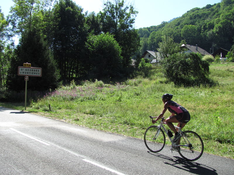
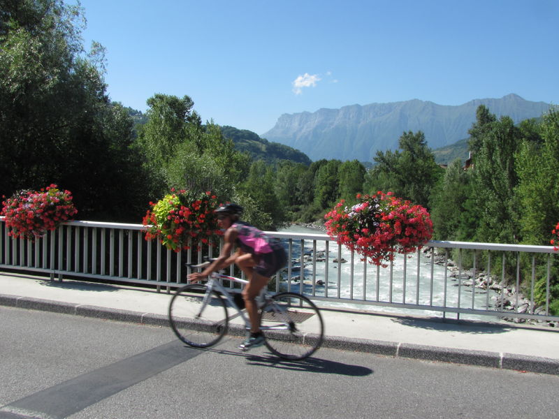
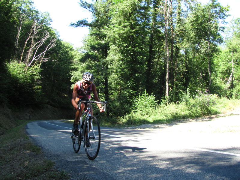
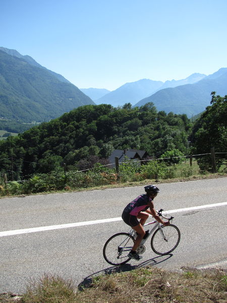
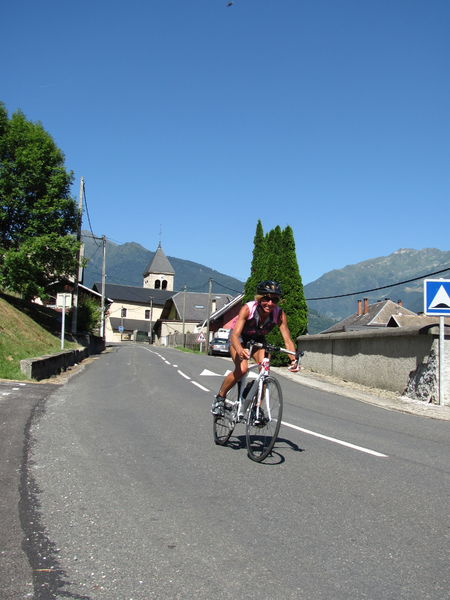
Gateway to the Maurienne
You will find some fountains in villages, and some restaurants in Aiguebelle and Saint-Pierre-de-Belleville.
Tips
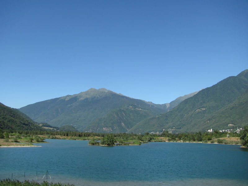
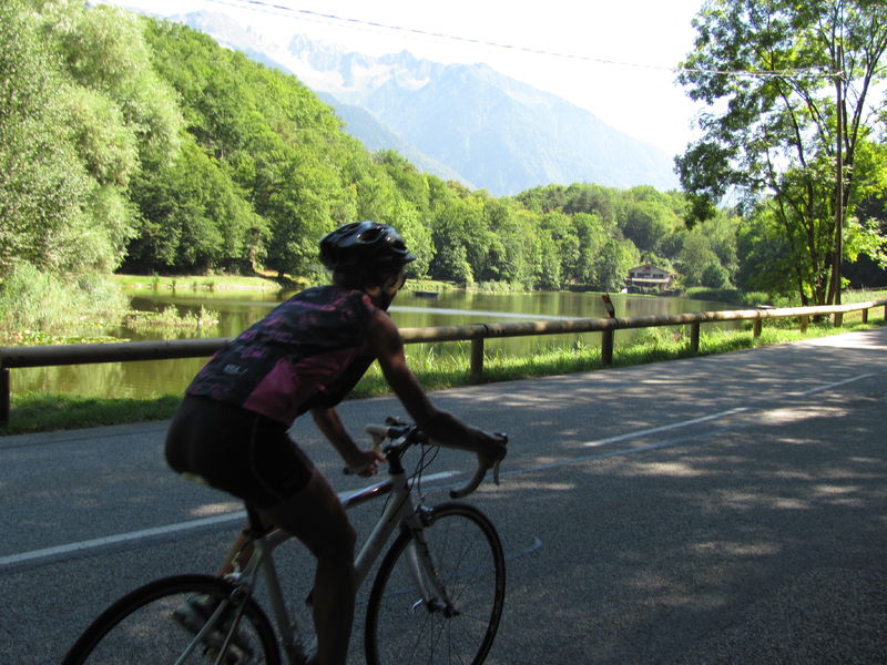
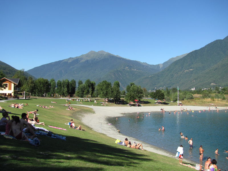
Profitez de cette boucle pour vous arrêter au plan d'eau des Hurtières. Baignade surveillée pendant les vacances d'été. Entrée payante.
Itinerary
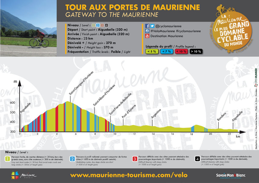
Distance :
23 km
Change in altitude :
370 m
Change in altitude (uphill) :
370 m
Change in altitude (downhill) :
370 m
Maximum altitude :
610 m
Type of itinerary :
Boucle
Marked itinerary :
Non disponible
Map references :
Carte "Vélo de Route" de "La Maurienne, le plus grand domaine cyclable du monde" éditée par Maurienne Tourisme et disponible dans tous les Offices de Tourisme de Maurienne (sous réserve des stocks disponibles).
Benefits
Services
- Motorhomes allowed
Further information
Spoken languages :
![]()
![]()
Publics :
Level bue - Medium

