Cycling up Col du Mollard
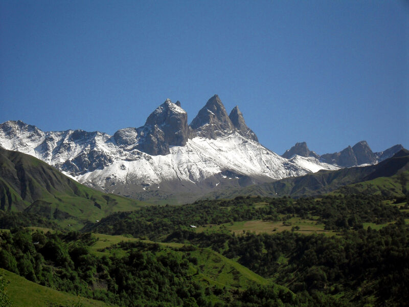
For the more courageous, why not continue on to the foot of the Aiguilles d'Arves?
This variant takes you through the hamlets of Les Rieux, Montrond and Le Chalmieu.
Road conditions and traffic are average.
Several water points are accessible, notably in Saint-Jean-de-Maurienne and Albiez-Montrond (at the equestrian center in Le Col, and near Place Opinel in Le Chef-lieu), as well as refreshment and repair points.
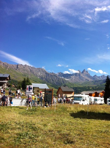
In terms of local sights to see, you'll enjoy exceptional panoramic views of the Albiez plateau and the famous Aiguilles d'Arves.
Itinerary
Daily duration :
1h 45m
Distance :
17.5 km
Change in altitude :
1063 m
Change in altitude (uphill) :
1063 m
Change in altitude (downhill) :
0 m
Average altitude :
1638 m
Type of itinerary :
En itinérance
Marked itinerary :
Balisé
Details about signage :
Climb equipped with mile markers indicating percentage of slope, altitude and distance to summit.
Map references :
Savoie Mont Blanc cycling map available from the tourist office.
Benefits
Services
- Pets welcome
Further information
Pets allowed :
Yes - Le transport ou la promenade des animaux sur les voiries doivent respecter le code de la route et l'obligation de maintien en laisse.
Publics :
Level black - very hard


