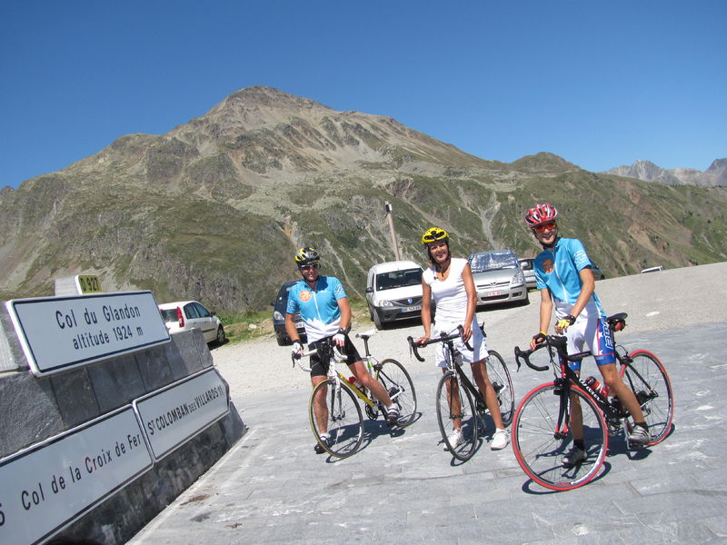
Cycling up Col du Glandon
This pass has been crossed 20 times by the Tour de France.
Guidebook with maps/step-by-step
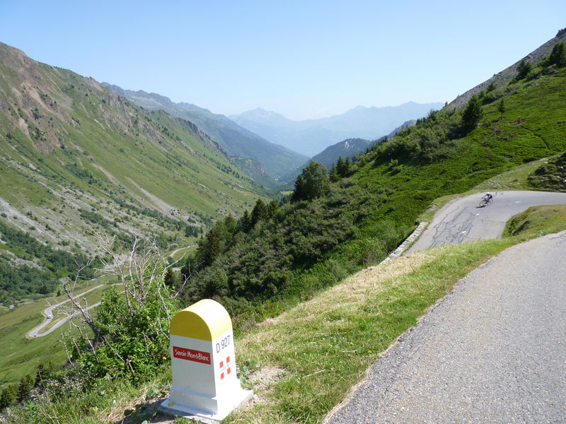
The climb starts in St Etienne de Cuines and follows the D927 to the summit. If the route to the Col de la Croix de Fer is the obvious choice, with only 3 additional kilometers to cover, there are many other possible itineraries on the Maurienne side or towards Oisans.
Itinerary
Daily duration :
2h
Distance :
19.9 km
Average slope :
7 %
Change in altitude :
1439 m
Change in altitude (uphill) :
1439 m
Change in altitude (downhill) :
0 m
Maximum altitude :
1924 m
Type of itinerary :
En itinérance
Marked itinerary :
Balisé
Details about signage :
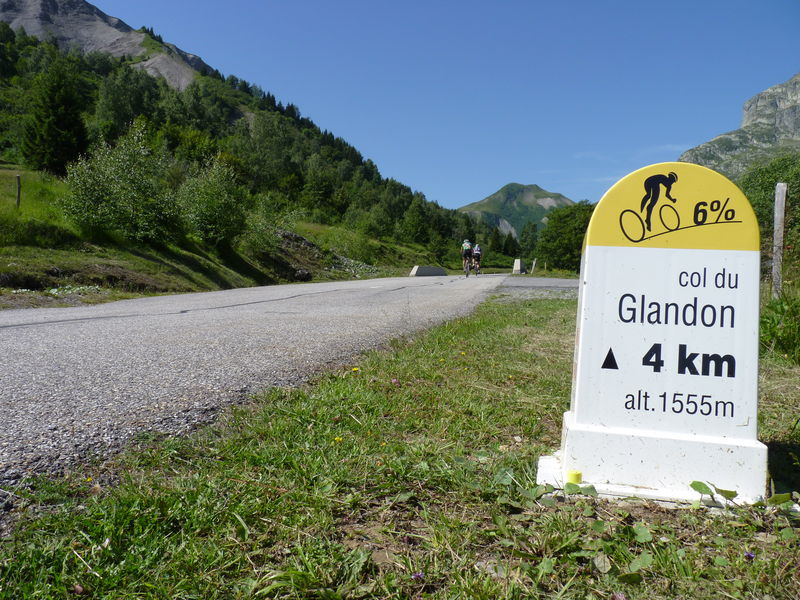
This route is equipped with kilometre markers dedicated to cyclists. Each kilometer indicates the number of kilometers remaining before the pass, the altitude of the milestone and the average gradient for the next kilometer.
Map references :
Vélo de Route" map of "La Maurienne, the world's largest cycling area" published by Maurienne Tourisme and available from all Maurienne Tourist Offices (subject to availability).
Benefits
Services
- Pets welcome
Further information
Pets allowed :
Yes - Le transport ou la promenade des animaux sur les voiries doivent respecter le code de la route et l'obligation de maintien en laisse.
Publics :
Level black - very hard

