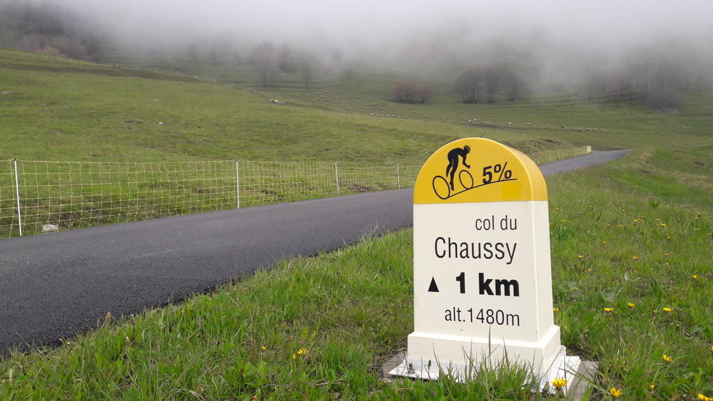
Cycling up Col du Chaussy

Departing from Saint-Jean-Maurienne, a young pass in the history of the Tour de France - it only entered in 2015 - but one that will make you sweat and harden your calves like a big man, with its laces of all sizes!
You leave Saint-Jean-de-Maurienne from the north, following the course of the Arc. But you soon fork right and set off uphill on the aptly named "Route des lacets". This takes you through a series of playful little bends that almost make you forget the slope. There are hardly any cars, the route is quiet and offers lovely views over the valley. When you reach Montvernier, you can refill your water bottle. Be prepared for a little "ass kicking" before the cliff face. It's an impressive and magnificent place. Catch your breath, because it's not over yet... The climb resumes and there are a few more steep bends before you reach the Col de Chaussy. But here's the final sign! Once you're up there, enjoy the wide-open view of the summits.

Itinerary

Daily duration : 2h
Distance : 19.3 km
Change in altitude : 972 m
Change in altitude (uphill) : 972 m
Change in altitude (downhill) : 0 m
Maximum altitude : 1533 m
Type of itinerary : En itinérance
Marked itinerary : Balisé
Details about signage : Climb equipped with mile markers indicating percentage of slope, altitude and distance to summit.
Map references : Savoie Mont Blanc cycling map available from the tourist office.

Further information

Publics : Level black - very hard