Cycling up Col de la Croix-de-Fer
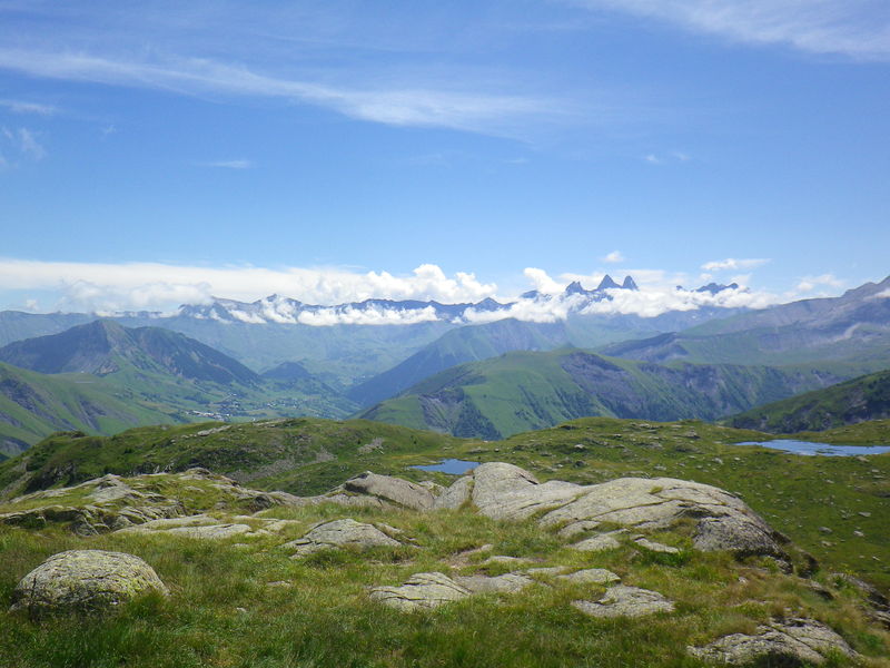
At the summit, the panorama is well worth the effort! This itinerary is equipped with milestones.
Water and refreshment points are available at Saint-Jean-de-Maurienne, Saint-Jean-d'Arves, Saint-Sorlin-d'Arves and Col de la Croix de Fer. The nearest repair facilities are in Saint-Jean-de-Maurienne and Saint-Jean-d'Arves.
On arrival in the Arves valley, follow the panoramic road to the Aiguilles d'Arves mountain range, with the Montrond church in the foreground.
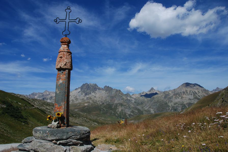
At the top of your ascent, the Col de la Croix de fer: panoramic view of the mythical Aiguilles d'Arves, emblem of the Arvan Villards-Les Sybelles region, the Pic de l'Etendard and the Saint Sorlin glacier, as well as the Vallée des Arves. Panoramic view of the villages of Saint-Sorlin and Saint-Jean-d'Arves.
Guidebook with maps/step-by-step
Depuis la sortie de Saint Jean de Maurienne et le rond-point "Opinel", empruntez la D926 qui vous fera remontez la vallée jusqu'à Saint-Sorlin et le final jusqu'au col.
Itinerary
Daily duration :
2h 30m
Distance :
29.3 km
Average slope :
6 %
Change in altitude :
1620 m
Change in altitude (uphill) :
1620 m
Change in altitude (downhill) :
130 m
Maximum altitude :
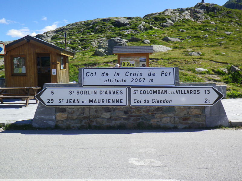
2067 m
Type of itinerary :
En itinérance
Marked itinerary :
Balisé
Details about signage :
From Saint-Jean-de-Maurienne, the ascent to the Col de la Croix de Fer is equipped with milestones that provide information on altitude, gradient percentage and number of kilometers remaining.
Tricky sections :
Watch out for the 3 successive tunnels between the twelfth and thirteenth kilometers.
Map references :
Vélo de Route" map of "La Maurienne, the world's largest cycling area" published by Maurienne Tourisme and available from all Maurienne Tourist Offices (subject to availability).
Benefits
Services
- Pets welcome
Further information
Pets allowed :
Yes - Le transport ou la promenade des animaux sur les voiries doivent respecter le code de la route et l'obligation de maintien en laisse.
Publics :
Level black - very hard


