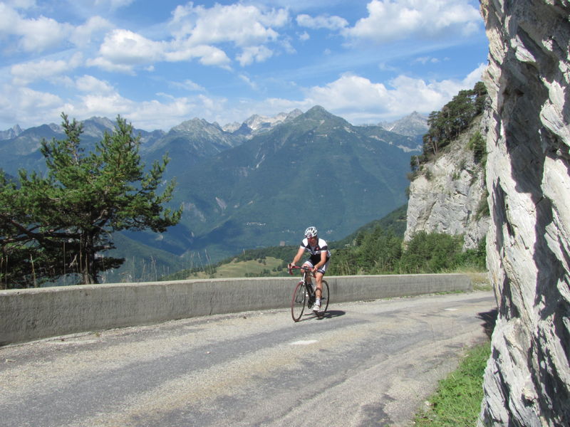
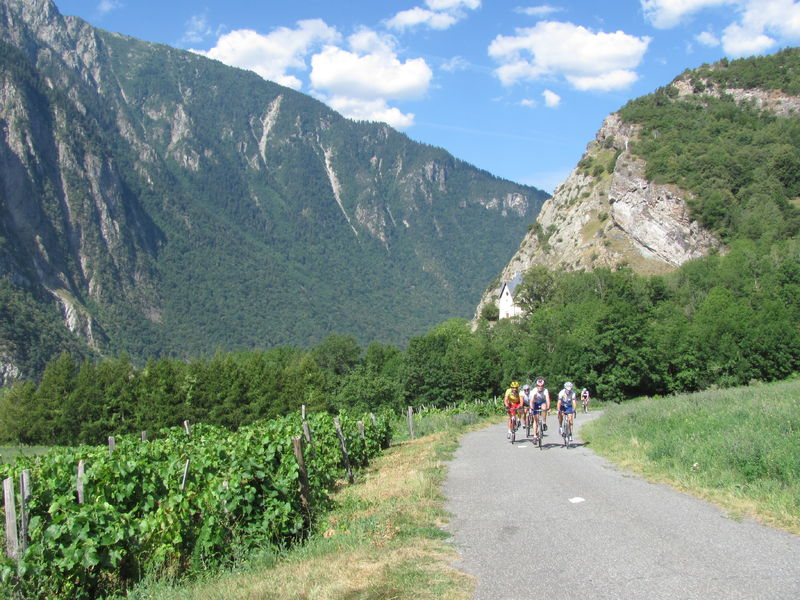
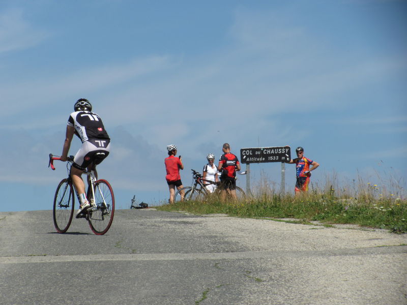
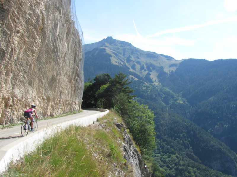
Cycling loop: Circuit du Chaussy
Itinerary
Distance :
50.3 km
Change in altitude :
1090 m
Change in altitude (uphill) :
1090 m
Change in altitude (downhill) :
1090 m
Maximum altitude :
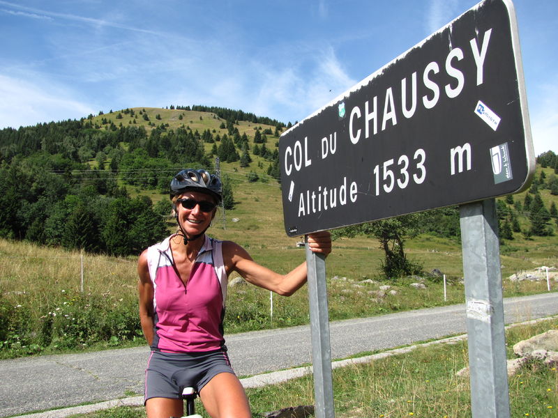
1533 m
Type of itinerary :
Boucle
Marked itinerary :
Balisé
Details about signage :
Departmental markings: Circuit du Chaussy N°37 black
Map references :
Vélo de Route" map of "La Maurienne, the world's largest cycling area" published by Maurienne Tourisme and available from all Maurienne Tourist Offices (subject to availability).
Benefits
Services
- Pets welcome
Further information
Pets allowed :
Yes - Le transport ou la promenade des animaux sur les voiries doivent respecter le code de la route et l'obligation de maintien en laisse.
Publics :
Level black - very hard

