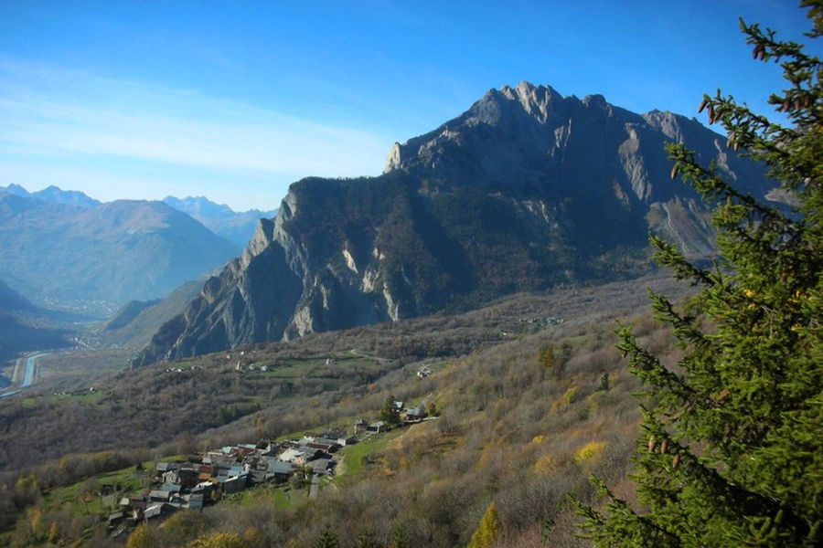
Cycling loop: Circuit de Beau Plan / Boucle de Beaune
Road conditions on this route are good, and traffic is low.
There are a number of stopping points, including water in Saint-Michel-de-Maurienne, and refreshment points in Saint-Michel-de-Maurienne, Le Thyl and Saint-Martin-la-Porte. The nearest repair point is in Saint-Jean-de-Maurienne.
Tips
While you're in the area, take a look at Espace Alu, a museum dedicated to aluminum, in Saint-Michel-de-Maurienne. The museum has been awarded the "Qualité Cyclo Maurienne" label, which means it has a secure parking area for bicycles (padlocks are available from the museum reception desk).
Guidebook with maps/step-by-step
From Saint-Michel-de-Maurienne, drive towards Saint-Jean-de-Maurienne and take the slip road on the right towards Saint-Martin-de-La-Porte. Climb as far as Beaune, then descend to Le Thyl before returning to Saint-Michel-de-Maurienne.
Itinerary
Daily duration :
2h
Distance :
24.2 km
Change in altitude :
736 m
Change in altitude (uphill) :
736 m
Change in altitude (downhill) :
736 m
Maximum altitude :
1415 m
Type of itinerary :
Boucle
Marked itinerary :
Balisé
Details about signage :
Departmental markings: Circuit de Beau - Plan / Boucle de Beaune N°32 black
Map references :
Vélo de Route" map of "La Maurienne, the world's largest cycling area" published by Maurienne Tourisme and available from all Maurienne Tourist Offices (subject to availability).
Benefits
Services
- Pets welcome
Further information
Pets allowed :
Yes - Le transport ou la promenade des animaux sur les voiries doivent respecter le code de la route et l'obligation de maintien en laisse.
Publics :
Level black - very hard


