Circuit des légendes
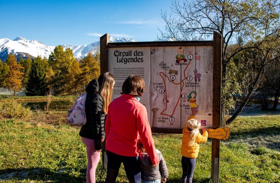
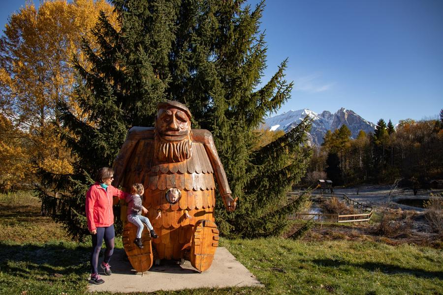
From the leisure area of an authentic mountain hamlet, the Circuit des Légendes offers families a unique experience.
Shaded areas, especially in the forest, are ideal for sunny days.
In this peaceful setting, it's not uncommon to spot wild animals.
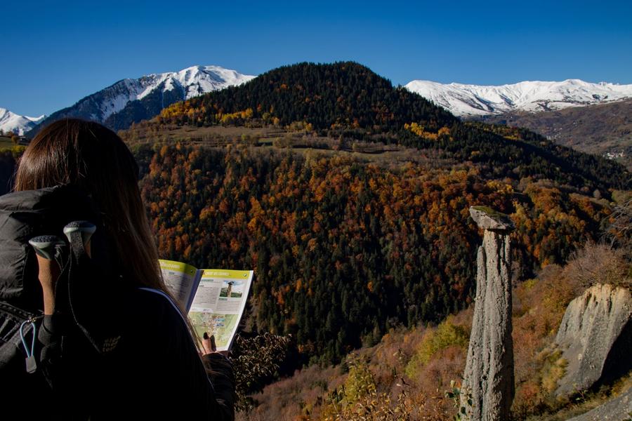
Halfway along the trail, discover the Moine de Champlan, a remarkable geological formation with a splendid view of the surrounding peaks.
At the end of the walk, treat yourself to a refreshing break at the lake: you've earned it!
Guidebook with maps/step-by-step
Departure point: Car park at the Zone de loisirs des Léchères d'Albiez-le-Jeune. Follow the signs for "Les pas de Gargantua".
1/ Follow the path towards the Chef-lieu d'Albiez-le-Jeune, then follow the road to the left as far as the Fontaine aux Chèvres.
2/ Take the path down to La Ducherie du Bas, then take the road on the left towards Le Moine de Champlan.
3/ At Moine de Champlan, continue on the downhill path, then return to Le Buisson via the forest track.
4/ At Le Buisson, take the path on the right which climbs up to the road. Follow the road for 150m, then take the path on the right to reach Ducherie du Bas.
5/ Return by the same route.
Itinerary
Daily duration :
1h 30m
Distance :
3.6 km
Change in altitude :
142 m
Change in altitude (uphill) :
142 m
Change in altitude (downhill) :
142 m
Maximum altitude :
1363 m
Type of itinerary :
Boucle
Marked itinerary :
Balisé
Topographical guide references :
Topoguide Pays des aiguilles d'Arves available for €5 at Explore Maurienne Tourist Offices during our opening hours.
Map references :
Top 25 IGN 3435 and 3433
Benefits
Services
- Pets welcome
Further information
Pets allowed :
Yes - Pets allowed on leash only.
Publics :
Level green – easy


