Casse-Massion from Albiez-le-Jeune
Guidebook with maps/step-by-step
Departure: Car park at the Zone de loisirs des Léchères in Albiez-le-Jeune.
1/ From the village of Albiez-le-Jeune, turn right at the crossroads in the direction of Champ Lovaret.
2/ At this crossroads, go straight on to Feytour, then turn left at the Miconnière crossroads.
3/ The path leads to the Les Fontanettes crossroads.
4/ Follow the path to Les Gros Murs and then Les Roches. From here, climb the path to Sous la Croix d'Albiez.
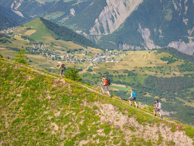
5/ After this crossroads, turn right towards the cross. Follow the blue paint dots on the ridge path towards Crêt de Lacha.
6/ Before arriving under the Croix de Casse-Massion, a slightly technical slab section replaces the path for 50 m.
7/ At the Croix de Casse-Massion, you can climb to the summit of Casse-Massion.
8/ Return to Albiez-le-Jeune by the same route.
Itinerary
Daily duration :
5h 45m
Distance :
11.3 km
Change in altitude :
1060 m
Change in altitude (uphill) :
1060 m
Change in altitude (downhill) :
1060 m
Maximum altitude :
2412 m
Type of itinerary :
Aller-retour
Marked itinerary :
Balisé
Details about signage :
Follow the yellow signs to the Croix d'Albiez (Mont Tissot), then the blue paint dots to the Croix de Casse-Massion.
Topographical guide references :
Topoguide Pays des Aiguilles d'Arves available for €5 at Explore Maurienne tourist offices during our opening hours.
Map references :
TOP 25 IGN 3435 and 3433
Benefits
Services
- Pets welcome
Further information
Pets allowed :
Yes - Pets allowed on leash only.
Publics :
Level black - very hard


