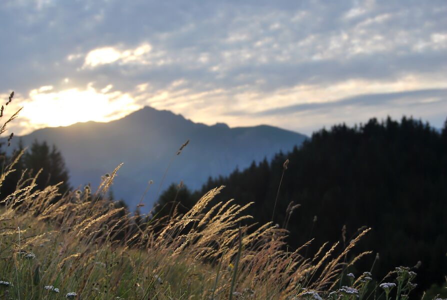
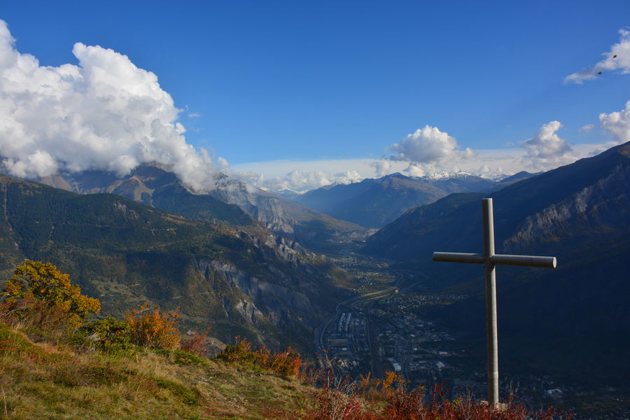
1/ Au départ de la Maison Forestière de l'Oullaz, prendre direction Croix de Chevrotière en empruntant le chemin forestier puis le sentier.
2/ Après avoir contemplé le panorama depuis la Croix de Chevrotière, le retour à la Maison de l'Oullaz s'effectue par le sentier.
                                                                    Daily duration :
                                    45m                                    
                                                                                                    Distance :
                                    1.3 km                                    
                                                                                                                                    Change in altitude  :
                                    30 m                                    
                                                                                                    Change in altitude (uphill) :
                                    30 m                                    
                                                                                                    Change in altitude (downhill) :
                                    30 m                                    
                                                                                                                                                                    Type of itinerary :
                                    Aller-retour                                    
                                                                                                    Marked itinerary :
                                    Balisé                                    
                                                                                                                                                                    Topographical guide references :
                                    Topo Guide Massif Arvan-Villards.
5€
Available in the 3 offices of the Montagnicimes Tourist Office : Albiez-Montrond, Les Bottières and Saint-Jean-de-Maurienne
Map + Top Guide = 10€.                                    
                                                                                                    Map references :
                                    Map with IGN data, Arvan-Villards Massif, Walks and hikes, Arvan and Villards Valley. 42 commented circuits, 650 km of marked itineraries.
7€
Available in the 3 offices of the Montagnicimes Tourist Office : Albiez-Montrond, Les Bottières and Saint-Jean-de-Maurienne
Map + Top Guide = 10€.                                    
                                                                                                    Types of terrain :
                                    Suitable for all terrain strollers                                    


                                                            Publics :
                                Level green – easy