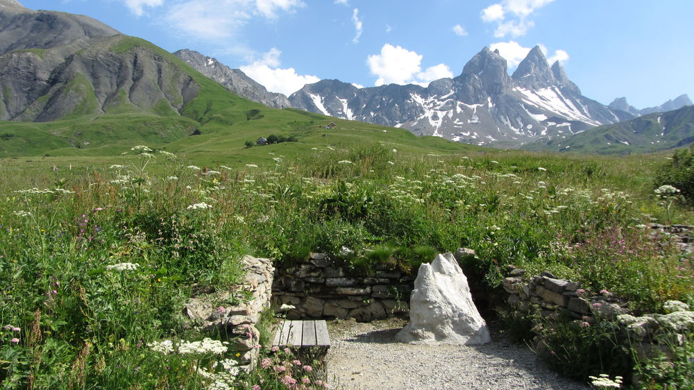
Aiguilles d'Arves Savoyard Discovery Walk
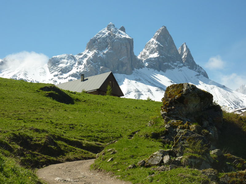
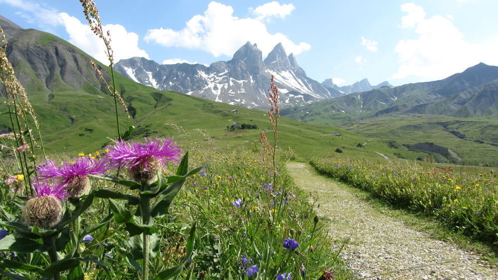
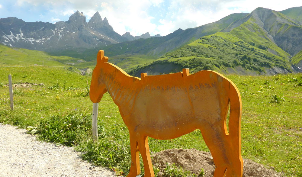
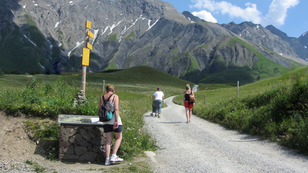
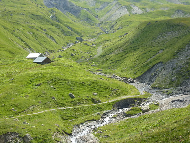
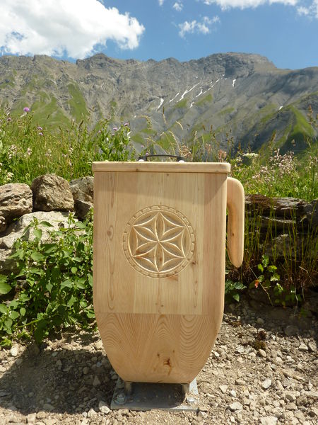
The gently sloping path winds its way through the remains of chalets once occupied during the summer months. It is marked out with sound elements and other objects symbolizing this very particular life, by which the people of the country testify of the life of yesterday and today.
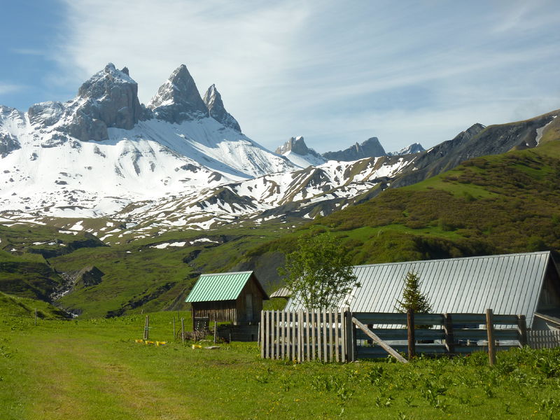
In this grandiose setting at the foot of the splendid Aiguilles d'Arves, called the "three majestic ones", follow the poetic and fascinating stories of shepherds, farmers, mountaineers, guides, storytellers...
They will make you relive with emotion the hard work, the dreams of climbing, the sweetness of the ancestors and the ecstasy of childhood... As if you were there!
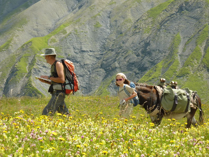
A real moment of sharing and exchange with the whole family. And maybe you will even approach some marmots a little too curious.
Tips
Also discover
- Ecomuseum "Le Temps d'Antan" (Au Mollard, Albiez-Montrond).
The village of Albiez-Montrond:
- Night-time lantern-lit strolls, punctuated by tales, legends and tastings (summer and winter).
- Les énigmes de Charlock" treasure hunt. Fun for all the family! Booklets available from the Tourist Office.
Fantastic" walks on the Albiez plateau:
- The trail of legends in Albiez-le-Jeune.
- The fairy chimneys (le Moine de Champlan in Albiez-le-Jeune, les Demoiselles coiffées de la Saussaz...): come and see the geological curiosities of the Albiez!
Guidebook with maps/step-by-step
0/ Relais TV parking lot above the village of Chalmieu or PMR parking lot 500 m higher.
1/ From the Relais TV parking lot at Le Chalmieu, take the 4x4 track towards Les Chabottes (PMR parking available), then turn left onto the track past the Les Chabottes Nord sign.
2/ After 70 m, turn left onto a small path to the first stop. The route continues from the track.
3/ After about 100 m, further stations will be found on the right and left of the track. Return to the track, continue along it and take the path to the right across the meadow to the Lissolet post. Picnic tables available.
4/ Return to the Relais TV parking lot, turning right onto the 4x4 track to Les Chabottes.
Itinerary
Daily duration :
1h 30m
Distance :
2.3 km
Change in altitude :
76 m
Change in altitude (uphill) :
76 m
Change in altitude (downhill) :
76 m
Maximum altitude :
1969 m
Type of itinerary :
Boucle
Marked itinerary :
Balisé
Topographical guide references :
Topoguide Arvan-Villards available for €5 in our tourist offices during opening hours.
Map references :
Map Vallées de l'Arvan et des Villards (1/25000 with IGN data) available at 7€ in our Tourist Offices during opening hours.
Available on our "Pays des Aiguilles d'Arves" application, downloadable free of charge onto your smartphone.
Types of terrain :
Grit, Suitable for all terrain strollers
Benefits
Services
- Pets welcome
Further information
Pets allowed :
Yes - Dogs must be kept on a leash due to the presence of herds.
Welcome complements :
Take the Maurienne valley freeway.
Take exit 27 and follow signs for Saint-Jean-de-Maurienne, then Vallée de l'Arvan and Saint-Sorlin-d'Arves/Saint-Jean-d'Arves.
At the Belleville dam, turn left towards Albiez-Montrond, then right towards Montrond.
Then climb up to the Relais TV de Montrond le Chalmieu parking lot.
Publics :
Level green – easy, Walkers/hikers
Adapted tourism :
Accessible for wheelchairs with assistance, Reserved space 330 cm wide < 100 m from the site, Possibility of drop-off in front of the site

