1/2 vertical kilometer
- This course is not recommended for beginners and unaccompanied children. It is not a hiking trail !
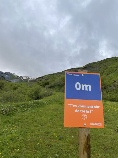
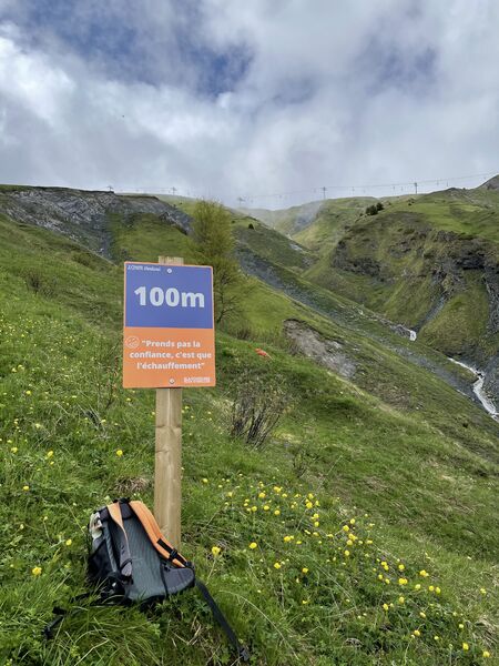
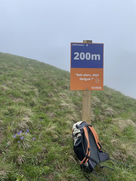
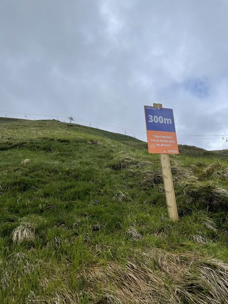
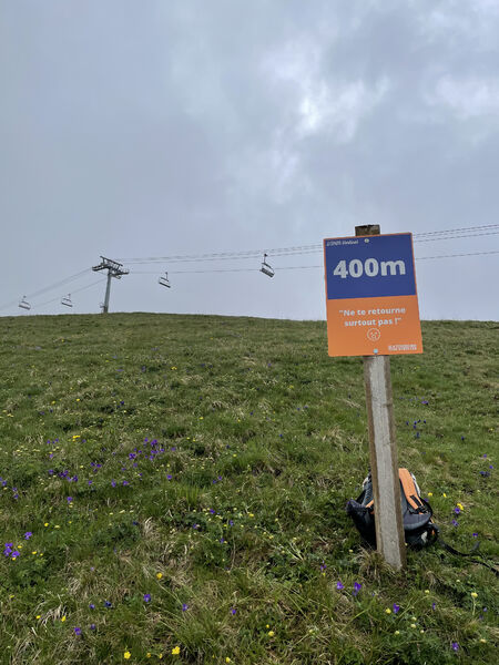
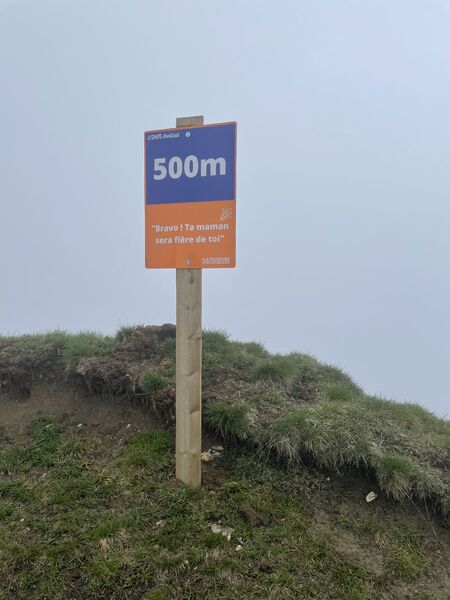
- The 1/2 vertical kilometers signposted every 100m of vertical drop to better manage your effort.
- It is important to stay hydrated before, during and after the ascent.
- Be equipped from head to toe! (Headwear, Jacket, Sunscreen, Sunglasses, Shoes ...)
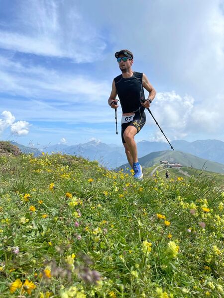
- Sticks are allowed and can be useful during the ascent and descent !
Don't hesitate to time yourself and report your time on the STRAVA app.
Itinerary
Daily duration :
30m
Distance :
1.4 km
Average slope :
38 %
Change in altitude :
500 m
Change in altitude (uphill) :
500 m
Change in altitude (downhill) :
0 m
Maximum altitude :
2272 m
Type of itinerary :
En itinérance
Marked itinerary :
Balisé
Details about signage :
The 1/2 vertical kilometer is signposted every 100m of vertical drop (Orange / Blue sign) to better manage your effort.
Be careful when crossing the river, do not go in the direction of Coin Cavour between the start and the 1st signpost (100m).
Tricky sections :
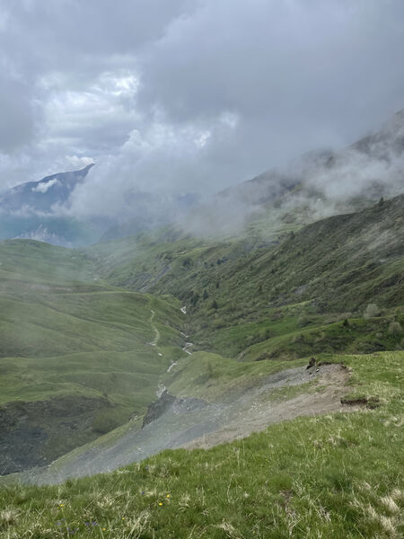
You finish the race on a ridge, watch out for the void on the other side.
Types of terrain :
Rock, Ground, Not suitable for strollers
Benefits
Services
- Pets welcome
Further information
Pets allowed :
Yes
Welcome complements :
- This course is not recommended for beginners and unaccompanied children. It is not a hiking trail !
- The 1/2 vertical kilometers signposted every 100m of vertical drop to better manage your effort.
- It is important to stay hydrated before, during and after the ascent.
- Be equipped from head to toe! (Headwear, Jacket, Sunscreen, Sunglasses, Shoes ...)
- Sticks are allowed and can be useful during the ascent and descent !
Spoken languages :
![]()
Publics :
Level black - very hard, For athletes
