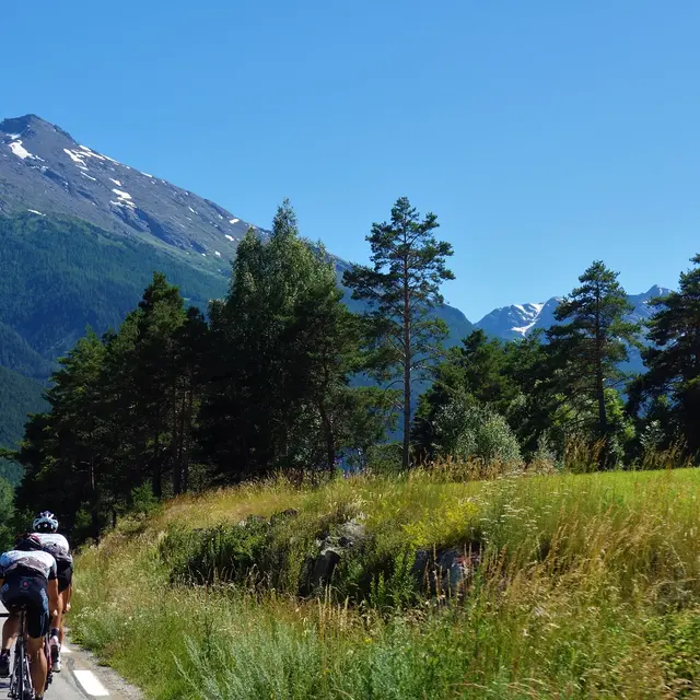
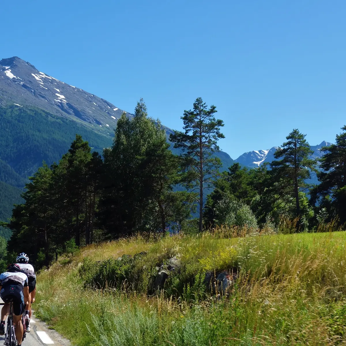
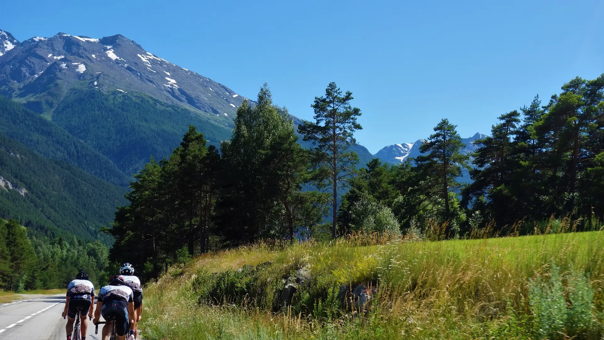
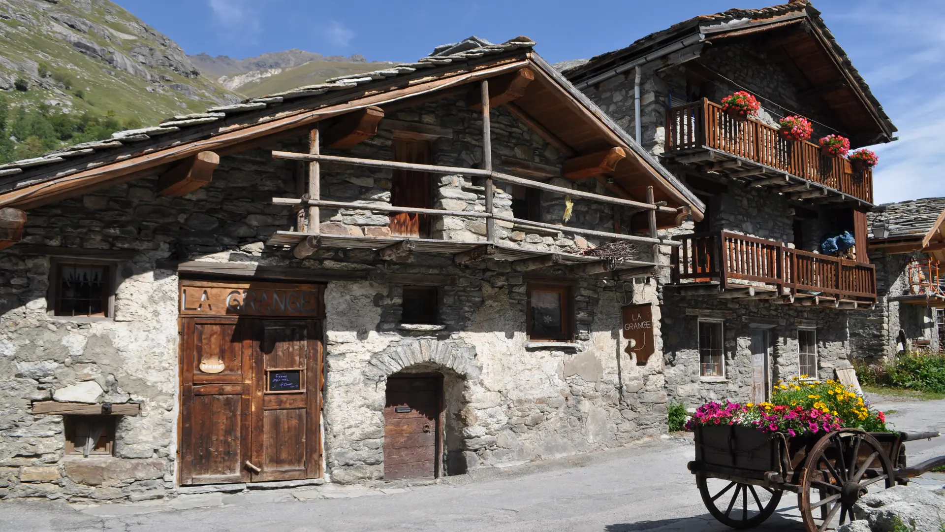
The Haute Maurienne is undoubtedly one of Savoie's most beautiful cycling trails, with its enchanting beauty and variety of landscapes that take you right up to the high mountains on the border with Italy.
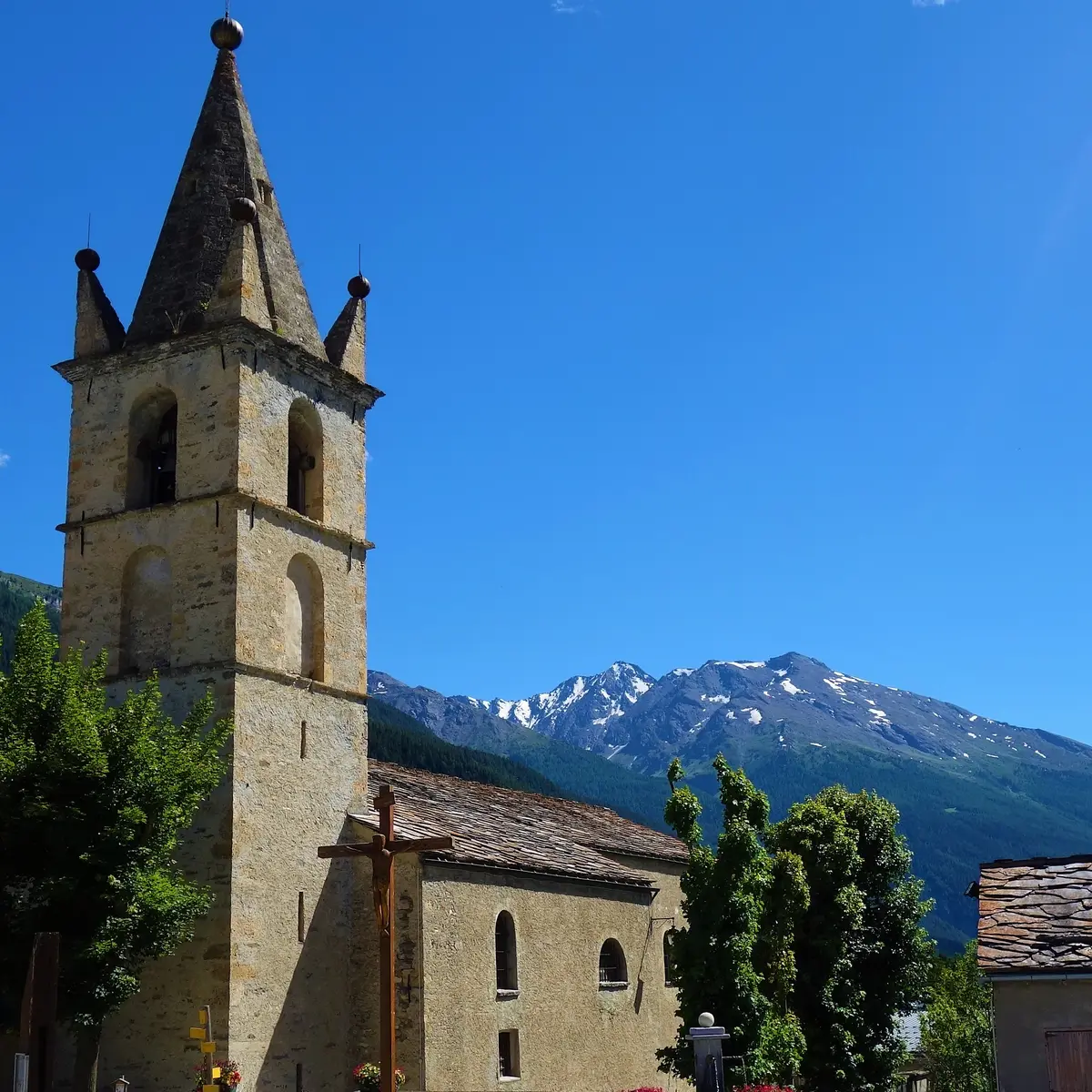
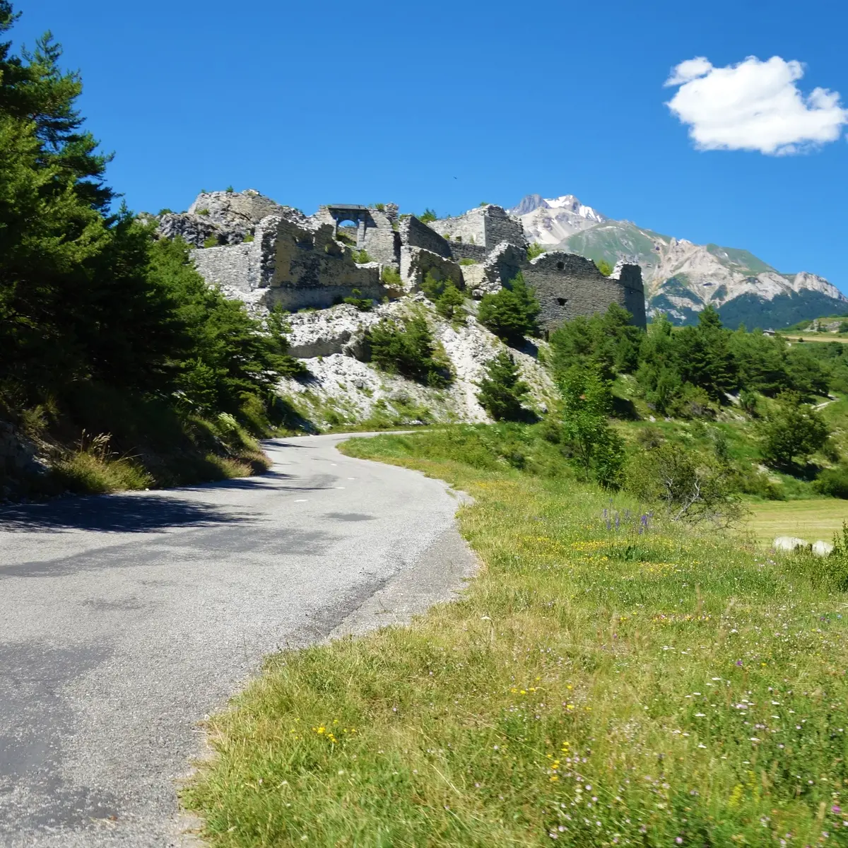
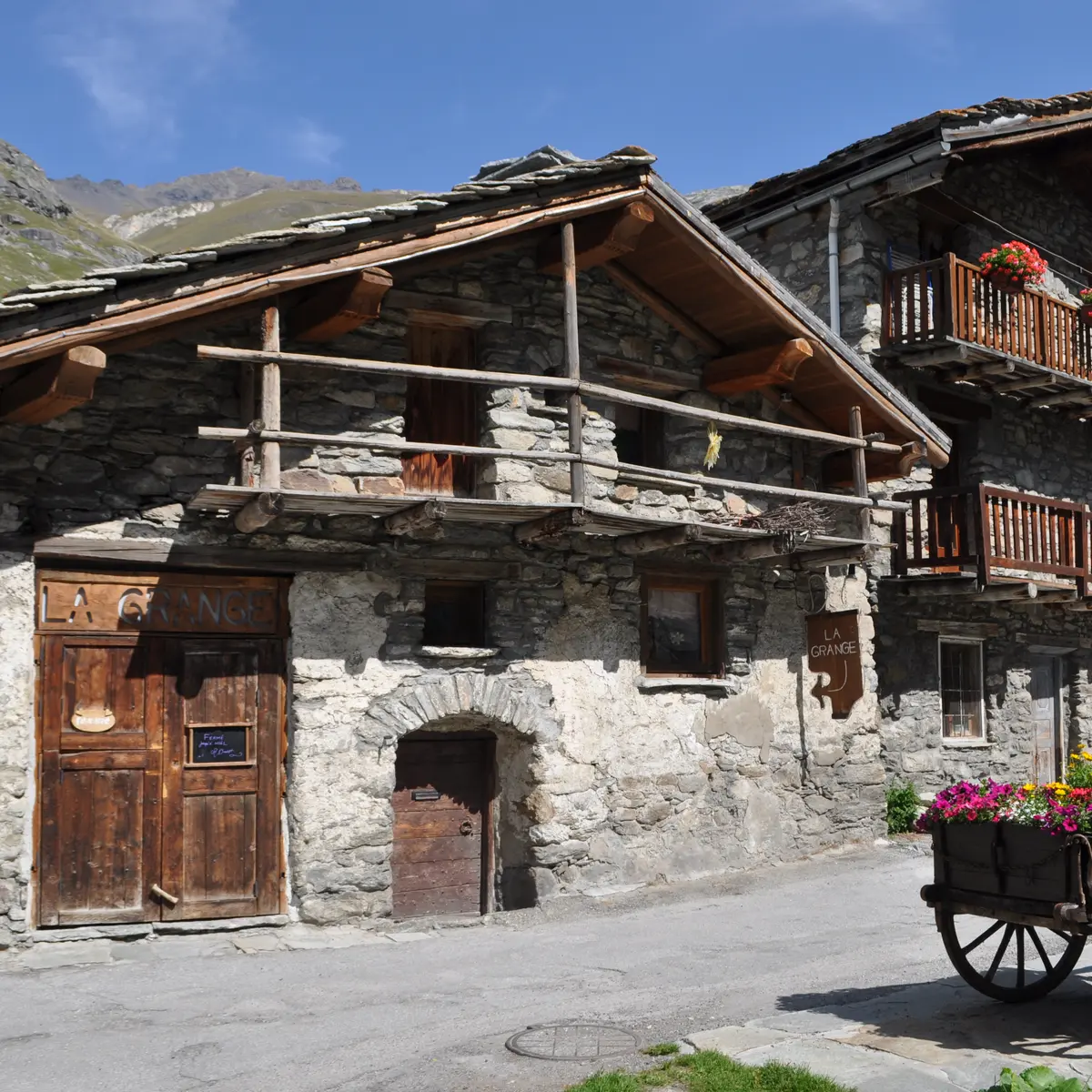
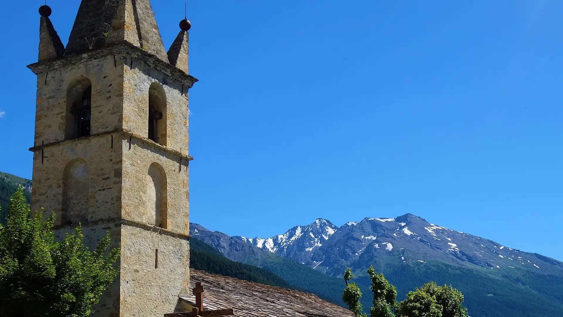
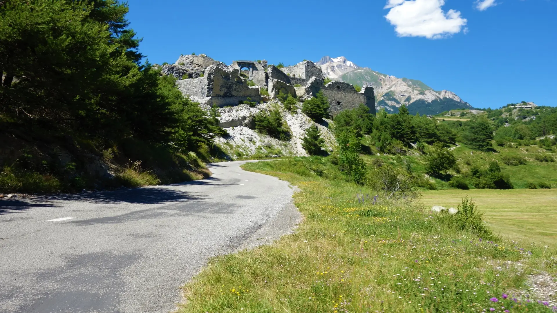
The warm-up to Modane is just a prelude to the discovery of a wild and majestic area, that of the often spectacular high mountains! Whether it's the climb up to Aussois, which takes you right up to the Parc National de la Vanoise and the mythical summit of the Dent Parrachée, the frenzied passage through Bessans or the arrival at Bonneval sur Arc, one of France's most beautiful villages, you'll have to be strong not to stop every kilometer and take out your camera. And it's a two-way street, each time offering plunging views of the adjacent valleys and inviting you to come back and discover new routes, and why not climb the Col de Mont-Cenis and say a warm hello to our Italian friends! One of the special features of this route is the opportunity to stop off in one of the many villages that follow one after the other, ensuring that you can recharge your batteries and discover an exceptional heritage.
Despite the red markings, given the amount of traffic and the cumulative climb, we feel it would be wise to upgrade this route to BLACK.